File:Map of Katanga.svg
Jump to navigation
Jump to search

Size of this PNG preview of this SVG file: 512 × 482 pixels. Other resolutions: 255 × 240 pixels | 510 × 480 pixels | 816 × 768 pixels | 1,088 × 1,024 pixels | 2,175 × 2,048 pixels.
Original file (SVG file, nominally 512 × 482 pixels, file size: 25 KB)
Captions
Captions
Add a one-line explanation of what this file represents
Summary[edit]
| Description |
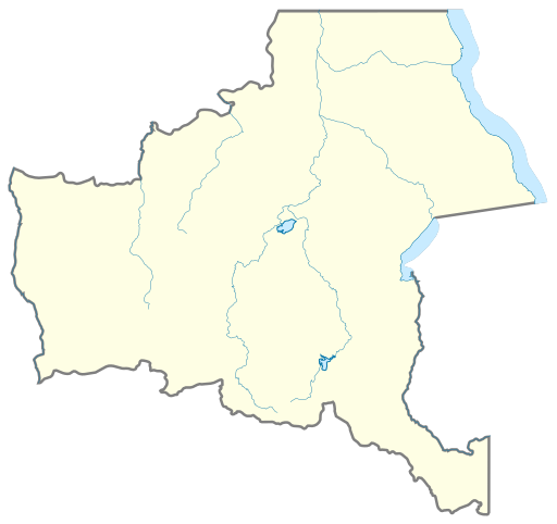
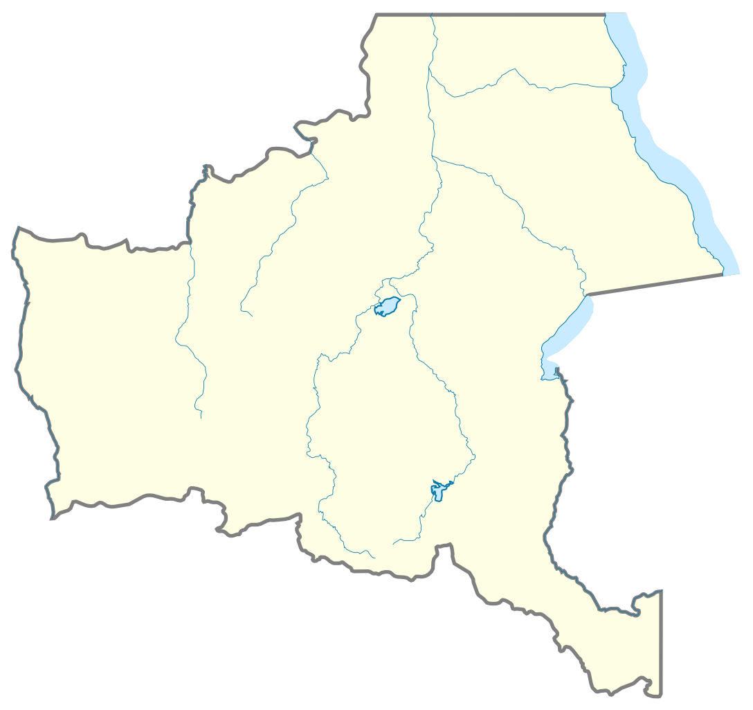
English: Map of Katanga |
| Date | |
| Source | Own work based on: Katanga in Democratic Republic of the Congo.svg |
| Author |
|
| Other versions |
English: Flag map of Katanga (1960–1963) |

Licensing[edit]
This file is licensed under the Creative Commons Attribution 4.0 International license.
- You are free:
- to share – to copy, distribute and transmit the work
- to remix – to adapt the work
- Under the following conditions:
- attribution – You must give appropriate credit, provide a link to the license, and indicate if changes were made. You may do so in any reasonable manner, but not in any way that suggests the licensor endorses you or your use.
File history
Click on a date/time to view the file as it appeared at that time.
| Date/Time | Thumbnail | Dimensions | User | Comment | |
|---|---|---|---|---|---|
| current | 11:02, 1 September 2023 | | 512 × 482 (25 KB) | ReneeWrites (talk | contribs) | Cleanup, harmonization |
| 10:44, 1 September 2023 |  | 510 × 479 (25 KB) | ReneeWrites (talk | contribs) | Uploaded a work by {{ubl|Democratic Republic of the Congo location map made by Uwe Dedering|Katanga in Democratic Republic of the Congo made by Profoss|Map of Katanga made by ReneeWrites}} from {{Own based|Katanga in Democratic Republic of the Congo.svg}} with UploadWizard |
You cannot overwrite this file.
File usage on Commons
There are no pages that use this file.