File:Map of Cyprus, Greece and Turkey.svg
Jump to navigation
Jump to search

Size of this PNG preview of this SVG file: 725 × 400 pixels. Other resolutions: 320 × 177 pixels | 640 × 353 pixels | 1,024 × 565 pixels | 1,280 × 706 pixels | 2,560 × 1,412 pixels.
Original file (SVG file, nominally 725 × 400 pixels, file size: 36 KB)
Captions
Captions
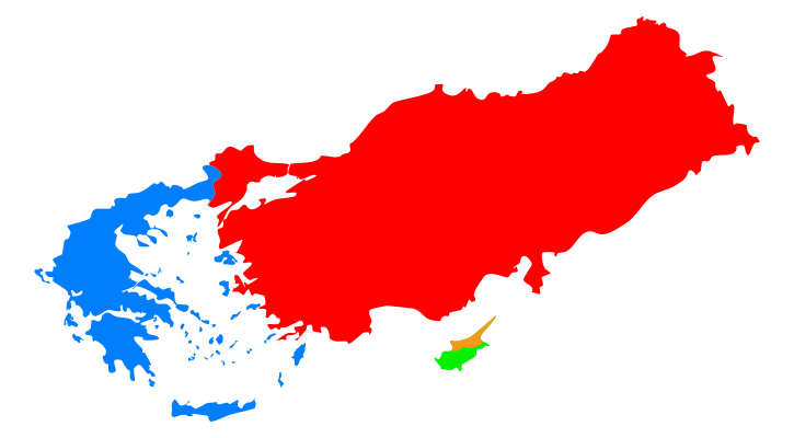
SVG map of Cyprus, Greece and Turkey.
Summary
[edit]
| Description |
English: SVG map of Cyprus, Greece and Turkey |
| Date | (UTC) |
| Source |
This file was derived from: Location European nation states.svg |
| Author | Lfdder at English Wikipedia |
Licensing
[edit]
Lfdder at English Wikipedia, the copyright holder of this work, hereby publishes it under the following license:
This file is licensed under the Creative Commons Attribution-Share Alike 3.0 Unported license.
Attribution: Lfdder at English Wikipedia
- You are free:
- to share – to copy, distribute and transmit the work
- to remix – to adapt the work
- Under the following conditions:
- attribution – You must give appropriate credit, provide a link to the license, and indicate if changes were made. You may do so in any reasonable manner, but not in any way that suggests the licensor endorses you or your use.
- share alike – If you remix, transform, or build upon the material, you must distribute your contributions under the same or compatible license as the original.
Original upload log
[edit]
The original description page was here. All following user names refer to en.wikipedia.
| Date/Time | Dimensions | User | Comment |
|---|---|---|---|
| 2013-03-28 13:53 | 725×400× (36441 bytes) | Lfdder | {{Information |Description = SVG map of Cyprus, Greece and Turkey |Source = [[File:Location_European_nation_states.svg]] |Date = ~~~~~ |Author = ~~~ }} |
File history
Click on a date/time to view the file as it appeared at that time.
| Date/Time | Thumbnail | Dimensions | User | Comment | |
|---|---|---|---|---|---|
| current | 10:59, 10 October 2016 | | 725 × 400 (36 KB) | XXN (talk | contribs) | Transferred from en.wikipedia |
You cannot overwrite this file.
File usage on Commons
There are no pages that use this file.
File usage on other wikis
The following other wikis use this file:
- Usage on ar.wikipedia.org
- اليونان
- تركيا
- قبرص الشمالية
- أكروتيري وديكيليا
- الخط الأخضر (قبرص)
- الغزو التركي لقبرص (1974)
- نزاع قبرص
- المستوطنون الأتراك في شمال قبرص
- حالة الطوارئ القبرصية
- الاستفتاءان على خطة أنان القبرصية لعام 2004
- خطة أنان
- عيد الميلاد الدموي (1963)
- تقسيم (نزاع قبرص)
- خطة أكريتاس
- الجيوب القبرصية التركية
- قالب:نزاع قبرص
- الحظر المفروض على شمال قبرص
- العنف الطائفي في قبرص
- مجازر ماراثا وسانتالاريس وألودا
- المنظمة الوطنية للمقاتلين القبارصة
- إنوسيس
- ثورة قبرص 1931
- منظمة المقاومة التركية
- خطة ABC
- أزمة الصواريخ القبرصية
- نزاع الغاز القبرصي 2018
- حل الدولتين (قبرص)
- الإدارة القبرصية التركية المستقلة
- دولة قبرص الاتحادية التركية
- مذبحة توشني
- العمليات العسكرية خلال التدخل العسكري التركي في قبرص
- معركة تيليريا
- الخسائر المدنية وعمليات النزوح أثناء النزاع القبرصي
- استفتاء عام 1950 القبرصي
- اللاجئون القبارصة
- جبهة 9 سبتمبر
- العصابة السوداء (منظمة)
- اللجنة السياسية للنضال القبرصي
- محادثات قبرص 2015-2017
- محادثات قبرص 2008-2012
- عملية السلام القبرصية
- محادثات قبرص 2014
- قائمة قرارات مجلس الأمن التابع للأمم المتحدة بشأن قبرص
- Usage on en.wikipedia.org
View more global usage of this file.