File:Map of 10 Forts at Bocca Tigris in 1836.jpg
Jump to navigation
Jump to search

Size of this preview: 800 × 511 pixels. Other resolutions: 320 × 204 pixels | 640 × 408 pixels | 1,024 × 653 pixels | 1,280 × 817 pixels | 2,560 × 1,634 pixels | 3,399 × 2,169 pixels.
Original file (3,399 × 2,169 pixels, file size: 416 KB, MIME type: image/jpeg)
Captions
Captions
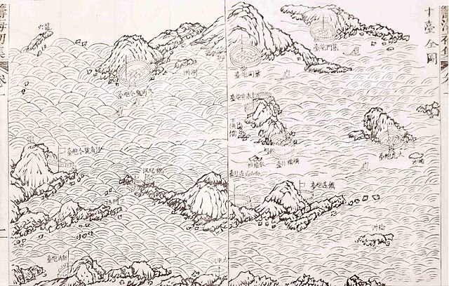
Map of 10 Forts at Bocca Tigris, China in 1836
Summary
[edit]
| Description |
English: Map of 10 Forts at Bocca Tigris, China in 1836
|
| Date | |
| Source | http://183.63.54.166:8082/info/4773.jspx |
| Author | Guan Tianpei(1781—1841) |
Licensing
[edit]
|
This work is in the public domain in its country of origin and other countries and areas where the copyright term is the author's life plus 70 years or fewer. This work is in the public domain in the United States because it was published (or registered with the U.S. Copyright Office) before January 1, 1929. | |
| This file has been identified as being free of known restrictions under copyright law, including all related and neighboring rights. | |
File history
Click on a date/time to view the file as it appeared at that time.
| Date/Time | Thumbnail | Dimensions | User | Comment | |
|---|---|---|---|---|---|
| current | 03:46, 28 July 2019 | | 3,399 × 2,169 (416 KB) | Happyseeu (talk | contribs) | User created page with UploadWizard |
You cannot overwrite this file.
File usage on Commons
The following page uses this file: