File:Map Baix Ebre.png
Jump to navigation
Jump to search
Size of this preview: 800 × 534 pixels. Other resolutions: 320 × 213 pixels | 640 × 427 pixels | 1,024 × 683 pixels | 1,234 × 823 pixels.
Original file (1,234 × 823 pixels, file size: 155 KB, MIME type: image/png)
Captions
Captions
Add a one-line explanation of what this file represents

|
This file has been superseded by Baix Ebre.png. It is recommended to use the other file. Please note that deleting superseded images requires consent.
|

|
Summary[edit]
| Description |
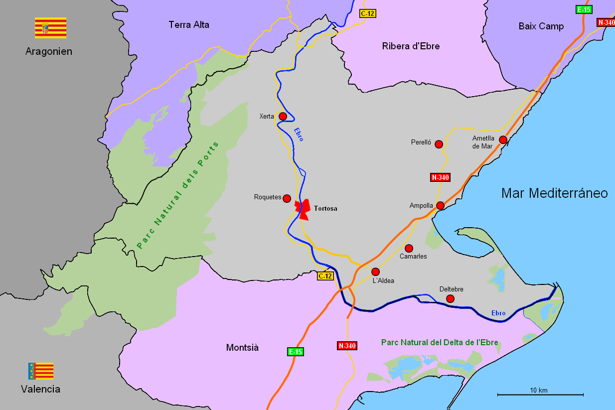
English: Map of the comarca Baix Ebre, Catalonia, Spain
Deutsch: Karte der Comarca Baix Ebre, Katalonien, Spanien
Español: Mapa de la comarca Bajo Ebro, Cataluña, España |
| Date | |
| Source | Own work |
| Author | Wela49 |
Licensing[edit]
| I, the copyright holder of this work, release this work into the public domain. This applies worldwide. In some countries this may not be legally possible; if so: I grant anyone the right to use this work for any purpose, without any conditions, unless such conditions are required by law. |
File history
Click on a date/time to view the file as it appeared at that time.
| Date/Time | Thumbnail | Dimensions | User | Comment | |
|---|---|---|---|---|---|
| current | 16:29, 19 August 2010 | | 1,234 × 823 (155 KB) | Wela49~commonswiki (talk | contribs) | {{Information |Description={{en|1=Map of the comarca Baix Ebre, Catalonia, Spain}} {{de|1=Karte der Comarca Baix Ebre, Katalonien, Spanien}} {{es|1=Mapa de la comarca Bajo Ebro, Cataluña, España}} |Source={{own}} |Author=Wela49 |Date=20. |
You cannot overwrite this file.
File usage on Commons
There are no pages that use this file.