File:Locator Westphalian Circle.svg
Jump to navigation
Jump to search

Size of this PNG preview of this SVG file: 613 × 600 pixels. Other resolutions: 245 × 240 pixels | 491 × 480 pixels | 785 × 768 pixels | 1,046 × 1,024 pixels | 2,093 × 2,048 pixels | 1,165 × 1,140 pixels.
Original file (SVG file, nominally 1,165 × 1,140 pixels, file size: 193 KB)
Captions
Captions
Add a one-line explanation of what this file represents
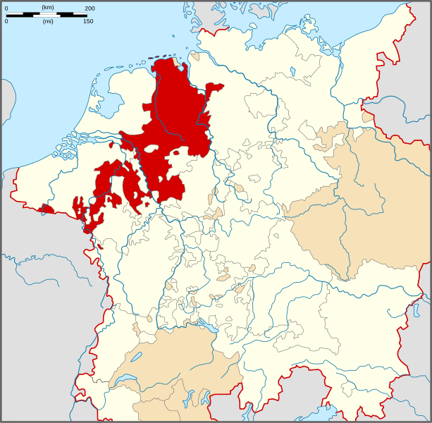
| Description | Locator Map of the Lower Rhenish-Westphalian Circle of Holy Roman Empire during the mid 16th century (the situation shown is that after the Burgundian treaty 1548 following which the bishopric of Utrecht passed to the Burgundian Circle). |
| Date | |
| Source | PERTHES ATLAS Geschichte |
| Author | Sir Iain |
| Permission (Reusing this file) |
Attribution ShareAlike 3.0 |
This file is licensed under the Creative Commons Attribution-Share Alike 3.0 Unported license.
- You are free:
- to share – to copy, distribute and transmit the work
- to remix – to adapt the work
- Under the following conditions:
- attribution – You must give appropriate credit, provide a link to the license, and indicate if changes were made. You may do so in any reasonable manner, but not in any way that suggests the licensor endorses you or your use.
- share alike – If you remix, transform, or build upon the material, you must distribute your contributions under the same or compatible license as the original.
File history
Click on a date/time to view the file as it appeared at that time.
| Date/Time | Thumbnail | Dimensions | User | Comment | |
|---|---|---|---|---|---|
| current | 16:20, 28 March 2010 | | 1,165 × 1,140 (193 KB) | Sir Iain (talk | contribs) | {{Information |Description=Locator Map of the Westphalian Circle of Holy Roman Empire. |Source=PERTHES ATLAS Geschichte |Date=28/03/2010 |Author=Sir Iain |Permission=Attribution ShareAlike 3.0 |other_versions= }} {{cc-by-sa-3.0}} [[Category:Reichskreise |
You cannot overwrite this file.
File usage on Commons
The following 2 pages use this file:
File usage on other wikis
The following other wikis use this file:
- Usage on ar.wikipedia.org
- دورتموند
- شاومبورغ ليبه
- دوقية كليفه
- دوقية يوليش
- دوقية برغ
- إمارة مونستر الأسقفية
- أسقفية أوترخت
- خيلدرز
- فردن نيدرزاكسن
- فاربورغ
- مدينة آخن الإمبراطورية الحرة
- لودرية أوتريخت
- قالب:الدائرة الوستفالية- الراينية السفلى
- أسقفية أمير لييج
- كونتية هورنه
- بوابة:الإمبراطورية الرومانية المقدسة
- بوابة:الإمبراطورية الرومانية المقدسة/قوالب
- أمير أسقفية أوسنابروك
- Usage on bg.wikipedia.org
- Usage on cs.wikipedia.org
- Usage on da.wikipedia.org
- Usage on de.wikipedia.org
- Usage on en.wikipedia.org
- Duchy of Guelders
- Prince-Bishopric of Utrecht
- Dortmund
- Schaumburg
- Verden an der Aller
- Soest, Germany
- Duchy of Berg
- County of Mark
- County of Nassau
- Principality of Schaumburg-Lippe
- Duchy of Oldenburg
- Warburg
- Bremen-Verden
- Prince-Bishopric of Liège
- Duchy of Jülich
- Duchy of Cleves
- Princely Abbey of Corvey
- County of Wied
- County of Manderscheid
- Sayn
- County of Bentheim
- County of Hoya
- Werden Abbey
- County of Horne
- Lower Rhenish–Westphalian Circle
- Roman Catholic Archdiocese of Cambrai
- Prince-Bishopric of Münster
- Duchy of Luxembourg
View more global usage of this file.