File:Location map of Armenia with Artsakh.png
Jump to navigation
Jump to search
Size of this preview: 584 × 599 pixels. Other resolutions: 234 × 240 pixels | 468 × 480 pixels | 749 × 768 pixels | 1,160 × 1,190 pixels.
Original file (1,160 × 1,190 pixels, file size: 275 KB, MIME type: image/png)
Captions
Captions
Add a one-line explanation of what this file represents
Summary
[edit]
| Description |
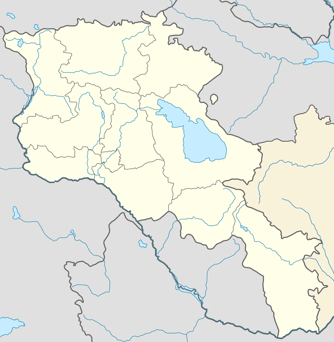
English: Location map of Armenia with N K R
Հայերեն: Հայաստանի քարտեզը ԼՂՀ-ի հետ |
| Date | |
| Source |
This file was derived from: Location map of Armenia with Artsakh in dark grey.png:  |
| Author | Հայկ Ափրիկյան |
Licensing
[edit]
This file is licensed under the Creative Commons Attribution-Share Alike 4.0 International license.
- You are free:
- to share – to copy, distribute and transmit the work
- to remix – to adapt the work
- Under the following conditions:
- attribution – You must give appropriate credit, provide a link to the license, and indicate if changes were made. You may do so in any reasonable manner, but not in any way that suggests the licensor endorses you or your use.
- share alike – If you remix, transform, or build upon the material, you must distribute your contributions under the same or compatible license as the original.
| Annotations | This image is annotated: View the annotations at Commons |
File history
Click on a date/time to view the file as it appeared at that time.
| Date/Time | Thumbnail | Dimensions | User | Comment | |
|---|---|---|---|---|---|
| current | 18:04, 27 May 2016 | | 1,160 × 1,190 (275 KB) | GeoO (talk | contribs) | User created page with UploadWizard |
You cannot overwrite this file.
File usage on Commons
The following 3 pages use this file:
File usage on other wikis
The following other wikis use this file:
- Usage on hy.wikipedia.org
- Հայաստանի գիտությունների ազգային ակադեմիա
- Հաղպատի վանական համալիր
- Սանահին (գյուղ)
- Երևան
- Վանաձոր
- Վաղարշապատ
- Հրազդան (քաղաք)
- Գյումրի
- Գորիս
- Կապան
- Աշտարակ (քաղաք)
- Արտաշատ
- Արմավիր
- Գավառ (քաղաք)
- Ստեփանավան
- Ախթալա
- Թումանյան (քաղաք)
- Շամլուղ
- Տաշիր
- Սպիտակ (քաղաք)
- Ալավերդի
- Թալին
- Սարուխան (Գեղարքունիքի մարզ)
- Դիլիջան
- Շնող (Լոռու մարզ)
- Արծվաշեն
- Գառնի (գյուղ)
- Միխայելովկա (Լոռու մարզ)
- Դվին
- Մարմաշեն (Շիրակի մարզ)
- Դսեղ
- Նորավան (Սյունիքի մարզ)
- Տարոնիկ
- Երվանդաշատ
- Կաղապար:Տեղեկաքարտ Օդանավակայան
- Զվարթնոց միջազգային օդանավակայան
- Ճամբարակ
- Սևան (քաղաք)
- Հայաստանի ազգային պոլիտեխնիկական համալսարան
- Վարդենիս
- Երևանի պետական համալսարան
- Ակունք (Արագածոտնի մարզ)
- Քասախ (Կոտայքի մարզ)
- Իջևան
- Մեղրի
- Սիսիան
- Օշական (գյուղ)
- Խաչատուր Աբովյանի անվան հայկական պետական մանկավարժական համալսարան
- Սվարանց
- Սարապատ
View more global usage of this file.