File:Location map Kuweit City.png
Jump to navigation
Jump to search

Size of this preview: 800 × 388 pixels. Other resolutions: 320 × 155 pixels | 640 × 310 pixels | 1,315 × 637 pixels.
Original file (1,315 × 637 pixels, file size: 214 KB, MIME type: image/png)
Captions
Captions
Add a one-line explanation of what this file represents
| Description |
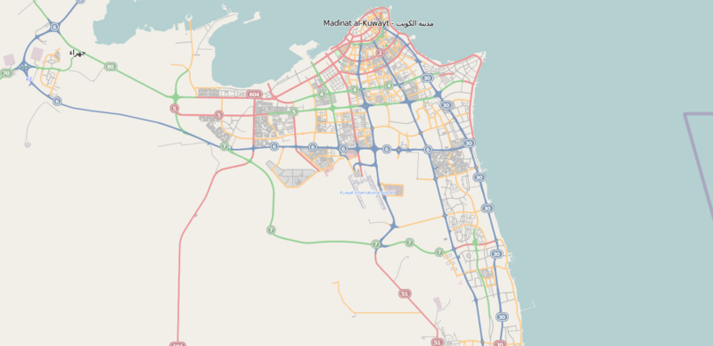
English: Location map Kuweit City
}Geographic limits of the map:
This file is licensed under the Creative Commons Attribution-Share Alike 2.0 Generic license.
|
| Source | OpenStreetMap [1] |
| Author | OpenStreetMap |
| Permission (Reusing this file) |
This file is licensed under the Creative Commons Attribution-Share Alike 2.0 Generic license.
|
File history
Click on a date/time to view the file as it appeared at that time.
| Date/Time | Thumbnail | Dimensions | User | Comment | |
|---|---|---|---|---|---|
| current | 11:00, 20 October 2011 | | 1,315 × 637 (214 KB) | وهراني (talk | contribs) | {{Information |Description ={{en|1=Location map Kuweit City Geographic limits of the map: * N: 29.398° * S: 29.09° * W: 47.606° * E: 48.334° {{CC-BY-SA 2.0}}}}} |Source =OpenStreetMap [http://www.openstreetmap.org/?lat=29.244&lon=47.97 |
You cannot overwrite this file.
File usage on Commons
The following page uses this file:
File usage on other wikis
The following other wikis use this file:
- Usage on ar.wikipedia.org
- Usage on arz.wikipedia.org
- Usage on en.wikipedia.org
- Usage on he.wikipedia.org
- Usage on ja.wikipedia.org
- Usage on pl.wikivoyage.org
- Usage on www.wikidata.org