File:Location map Fatih.jpg
Original file (1,957 × 1,929 pixels, file size: 822 KB, MIME type: image/jpeg)
Captions
Captions

|
This map image could be re-created using vector graphics as an SVG file. This has several advantages; see Commons:Media for cleanup for more information. If an SVG form of this image is available, please upload it and afterwards replace this template with
{{vector version available|new image name}}.
It is recommended to name the SVG file “Location map Fatih.svg”—then the template Vector version available (or Vva) does not need the new image name parameter. |


Summary[edit]
| Description |
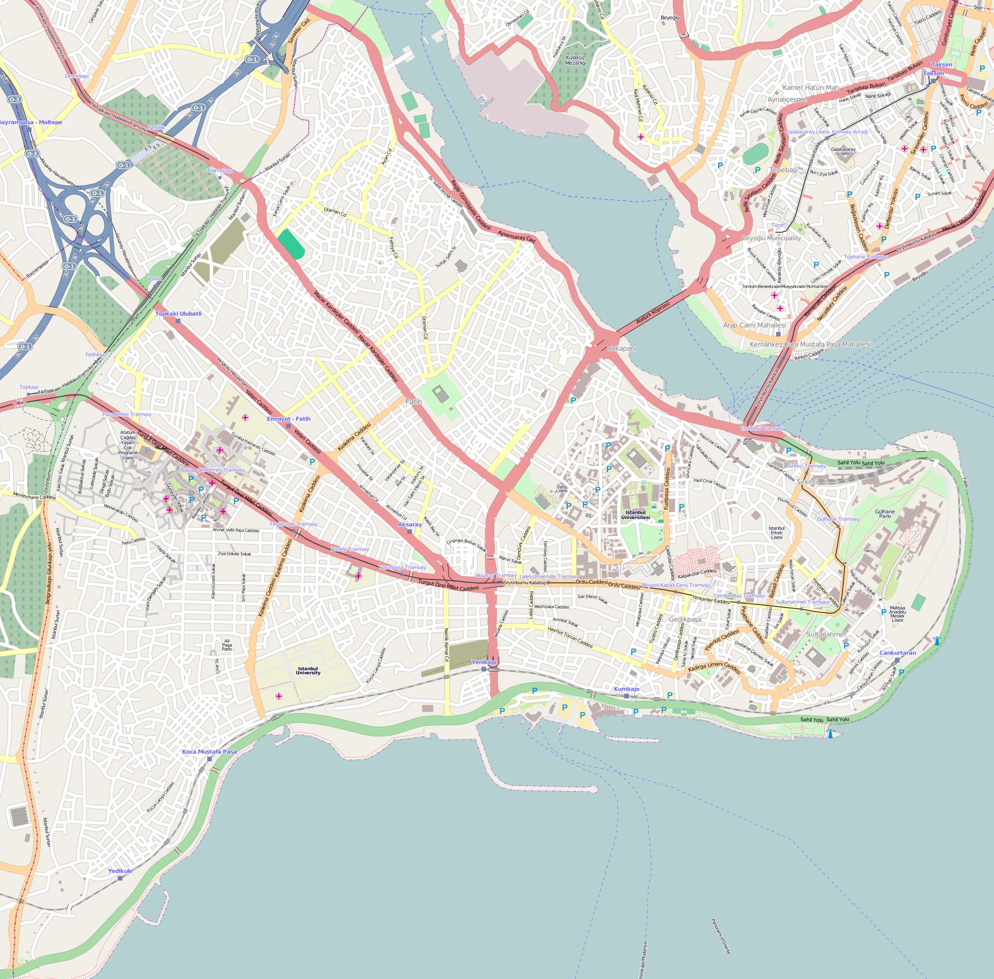
English: Location map of Fatih district of Istanbul. Borders coordinates:
N: 41.0411 W: 28.9181 E: 28.9895 S: 40.988 |
| Date | |
| Source | http://www.openstreetmap.org |
| Author | OpenStreetMap |
Licensing[edit]
- You are free:
- to share – to copy, distribute and transmit the work
- to remix – to adapt the work
- Under the following conditions:
- attribution – You must give appropriate credit, provide a link to the license, and indicate if changes were made. You may do so in any reasonable manner, but not in any way that suggests the licensor endorses you or your use.
- share alike – If you remix, transform, or build upon the material, you must distribute your contributions under the same or compatible license as the original.
| Description |
This map was created from OpenStreetMap project data, collected by the community. This map may be incomplete, and may contain errors. Don't rely solely on it for navigation. |
|||
| Date | (see file history) | |||
| Source | openstreetmap.org | |||
| Creator |
OpenStreetMap contributors |
|||
| Permission (Reusing this file) |
OpenStreetMap data is available under the Open Database License (details). Map tiles are licensed under the Creative Commons Attribution-ShareAlike 2.0 license (CC-BY-SA 2.0).
This file is licensed under the Creative Commons Attribution-Share Alike 2.0 Generic license.
|
|||
| Georeferencing | If inappropriate please set warp_status = skip to hide. |
File history
Click on a date/time to view the file as it appeared at that time.
| Date/Time | Thumbnail | Dimensions | User | Comment | |
|---|---|---|---|---|---|
| current | 17:06, 11 July 2020 | | 1,957 × 1,929 (822 KB) | Nick (talk | contribs) | Reverted to version as of 17:05, 11 July 2020 (UTC) |
| 17:06, 11 July 2020 | No thumbnail | 300 × 168 (14 KB) | Darren-M (talk | contribs) | Reverted to version as of 17:04, 11 July 2020 (UTC) | |
| 17:05, 11 July 2020 |  | 1,957 × 1,929 (822 KB) | Mdaniels5757 (talk | contribs) | Reverted to version as of 17:04, 11 July 2020 (UTC) | |
| 17:04, 11 July 2020 | No thumbnail | 300 × 168 (14 KB) | EvanHumphrey12 (talk | contribs) | Reverted to version as of 17:04, 11 July 2020 (UTC) | |
| 17:04, 11 July 2020 |  | 1,957 × 1,929 (822 KB) | Mdaniels5757 (talk | contribs) | Reverted to version as of 17:04, 11 July 2020 (UTC) | |
| 17:04, 11 July 2020 | No thumbnail | 300 × 168 (14 KB) | EvanHumphrey12 (talk | contribs) | Reverted to version as of 17:03, 11 July 2020 (UTC) | |
| 17:04, 11 July 2020 |  | 1,957 × 1,929 (822 KB) | Mdaniels5757 (talk | contribs) | Reverted to version as of 17:03, 11 July 2020 (UTC) | |
| 17:03, 11 July 2020 | No thumbnail | 300 × 168 (14 KB) | EvanHumphrey12 (talk | contribs) | Reverted to version as of 17:02, 11 July 2020 (UTC) | |
| 17:03, 11 July 2020 |  | 1,957 × 1,929 (822 KB) | Mdaniels5757 (talk | contribs) | Reverted to version as of 17:02, 11 July 2020 (UTC) | |
| 17:02, 11 July 2020 | No thumbnail | 300 × 168 (14 KB) | EvanHumphrey12 (talk | contribs) | Reverted to version as of 17:01, 11 July 2020 (UTC) |
You cannot overwrite this file.
File usage on Commons
The following page uses this file:
File usage on other wikis
The following other wikis use this file:
- Usage on bg.wikipedia.org
- Usage on bn.wikipedia.org
- Usage on cs.wikipedia.org
- Usage on en.wikipedia.org
- Fener
- Süleymaniye Mosque
- Bulgarian St. Stephen Church
- Basilica Cistern
- Rüstem Pasha Mosque
- Arap Mosque
- Bayezid II Mosque, Istanbul
- Boukoleon Palace
- Hagia Irene
- The Chora
- Fatih Mosque, Istanbul
- Zeynep Sultan Mosque
- New Mosque, Istanbul
- Column of Marcian
- St. George's Cathedral, Istanbul
- Little Hagia Sophia
- Zeyrek Mosque
- Laleli Mosque
- Fenari Isa Mosque
- Church of St. Anthony of Padua, Istanbul
- Pammakaristos Church
- Ahrida Synagogue of Istanbul
- Kalenderhane Mosque
- Gül Mosque
- Bodrum Mosque
- Yedikule Fortress
- Eski Imaret Mosque
- Church-Mosque of Vefa
- Kefeli Mosque
- Şehzade Mosque
- Sulukule
- Church of Saint Mary of the Mongols
- Hirami Ahmet Pasha Mosque
- Çarşamba, Fatih
- Ayakapı
- Koca Mustafa Pasha Mosque
- Atik Mustafa Pasha Mosque
- Pertevniyal Valide Sultan Mosque
- Vefa
- Theodosius Cistern
- Cistern of Philoxenos
- Sancaktar Hayrettin Mosque
- Church of St. Mary of Blachernae
View more global usage of this file.