File:Location map Armenia Aragatsotn province.png
Jump to navigation
Jump to search
No higher resolution available.
Location_map_Armenia_Aragatsotn_province.png (378 × 286 pixels, file size: 34 KB, MIME type: image/png)
Captions
Captions
Add a one-line explanation of what this file represents
| Description |
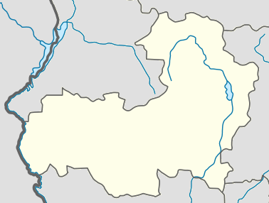
English: Տեղորոշման քարտեզ Հայաստան Արագածոտնի մարզ |
||
| Source | Own work | ||
| Author | Pandukht | ||
| Permission (Reusing this file) |
|
File history
Click on a date/time to view the file as it appeared at that time.
| Date/Time | Thumbnail | Dimensions | User | Comment | |
|---|---|---|---|---|---|
| current | 10:01, 20 February 2011 | | 378 × 286 (34 KB) | Pandukht (talk | contribs) | {{Information |Description ={{en|1=Տեղորոշման քարտեզ Հայաստան Արագածոտնի մարզ}} |Source ={{own}} |Author =Pandukht |Date = |Permission ={{PD-self}} |other_versions = |
You cannot overwrite this file.
File usage on Commons
The following 3 pages use this file:
File usage on other wikis
The following other wikis use this file:
- Usage on ba.wikipedia.org
- Usage on ce.wikipedia.org
- Usage on fa.wikipedia.org
- آشتاراک
- آپاران
- تالین (ارمنستان)
- تساغکاشن، آراگاتسوتن
- تتوجور، آراگاتسوتن
- واردابلور (آراگاتسوتن)
- واردنیس، آراگاتسوتن
- واردنوت
- ورین بازمابرد
- ورین ساسناشن
- ورین ساسونیک
- ورخنی کلکوت
- آراگاتس، آراگاتسوتن
- آرایی
- آپنا
- آنتاروت
- آگاراکاوان
- آگاراک، آراگاتسوتن
- آراگاتسوتن (روستا)
- آرتاشاوان
- آرتنی
- آروچ
- آشناک
- آوان، آراگاتسوتن
- آوشن
- آرووت
- بازماغبیور
- برکارات
- بیوراکان
- چارچاکیس
- چکناغ
- داشتادم
- داوتاشن
- ددماسار
- دیان، آراگاتسوتن
- دپروانک
- جوراگلوخ
- گارناهوویت
- گغادیر
- گغادزور
- گغاروت
- گتاپ
- غازاراوان
- هاکو
- هارتاوان
- هاتساشن
- هنابرد
- ایریند
View more global usage of this file.