File:Location OudeIJssel.png
Jump to navigation
Jump to search
Size of this preview: 450 × 599 pixels. Other resolutions: 180 × 240 pixels | 580 × 772 pixels.
Original file (580 × 772 pixels, file size: 79 KB, MIME type: image/png)
Captions
Captions
Add a one-line explanation of what this file represents
Summary[edit]
| Description |
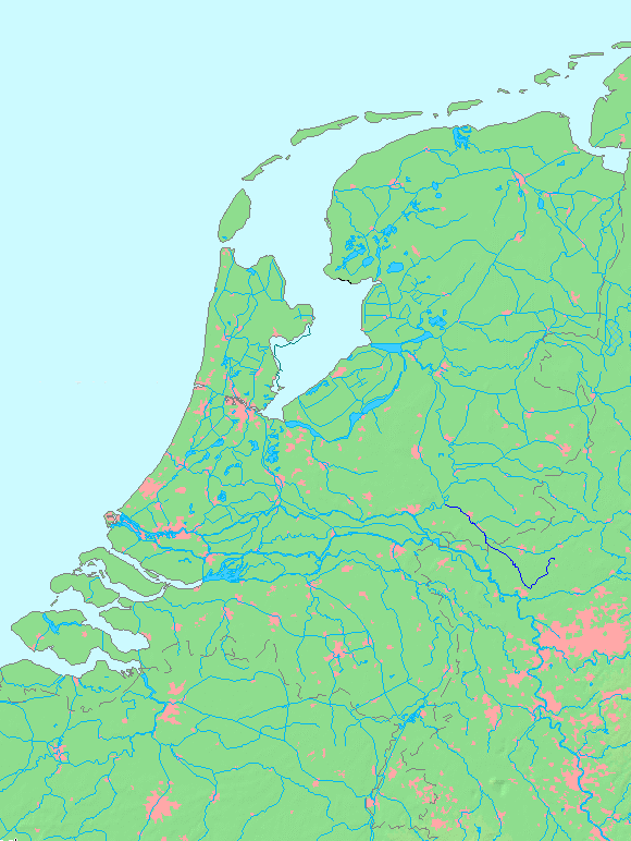
Oude IJssel
Licensing
|
||||||||||||
| Date | (UTC) | ||||||||||||
| Source | |||||||||||||
| Author |
|
This image is in the public domain because it came from the site https://www.demis.nl/products/web-map-server/examples/ and was released by the copyright holder. Permission is granted to copy, distribute and/or modify this map since it is based on free of copyright images from: www.demis.nl. See also approval email on de.wp and its clarification.
|
| This work has been released into the public domain by its copyright holder, www.demis.nl. This applies worldwide. In some countries this may not be legally possible; if so: www.demis.nl grants anyone the right to use this work for any purpose, without any conditions, unless such conditions are required by law.
|
Original upload log[edit]
This image is a derivative work of the following images:
- File:MapNetherlandsWater.PNG licensed with PD-Demis
- 2005-10-16T15:12:31Z Michiel1972 580x772 (78734 Bytes) cor.
- 2005-10-16T13:35:27Z Michiel1972 580x772 (78676 Bytes) *map shows waterbodies , rivers and canals in Netherlands *based on free-licence data/map software http://www.demis.nl/home [[category:Maps of the Netherlands]]
Uploaded with derivativeFX
File history
Click on a date/time to view the file as it appeared at that time.
| Date/Time | Thumbnail | Dimensions | User | Comment | |
|---|---|---|---|---|---|
| current | 13:59, 29 August 2010 | | 580 × 772 (79 KB) | Hans Erren (talk | contribs) | {{Information |Description=Oude IJssel {{dutchwaterwaymap}} |Source=*File:MapNetherlandsWater.PNG |Date=2010-08-29 13:56 (UTC) |Author=*File:MapNetherlandsWater.PNG: Michiel1972 *derivative work: ~~~ |Permission= |other_ve |
You cannot overwrite this file.
File usage on Commons
There are no pages that use this file.
File usage on other wikis
The following other wikis use this file:
- Usage on nl.wikipedia.org
- Usage on zh.wikipedia.org