File:Littoral de l'Oranie (2012).jpg
Jump to navigation
Jump to search

Size of this preview: 800 × 527 pixels. Other resolutions: 320 × 211 pixels | 640 × 421 pixels | 1,024 × 674 pixels | 1,280 × 843 pixels | 2,560 × 1,685 pixels | 3,968 × 2,612 pixels.
Original file (3,968 × 2,612 pixels, file size: 2.11 MB, MIME type: image/jpeg)
Captions
Captions
Add a one-line explanation of what this file represents
Summary[edit]
.jpg&action=edit§ion=1)
| Description |
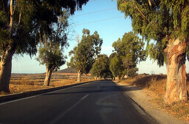
English: Littoral of Oran and north-west Algeria - road between Madagh (Oran) and Bouzedjar (Aïn Témouchent) - picture 2012
Français : Littoral de l'Oranie - route entre Madagh (Oran) et Bouzedjar (Aïn Témouchent) - photo 2012
العربية: ساحل القطاع الوهراني - طريق ما بين مداغ (وهران) و بوزجار (عين تموشنت) - صورة 2012 |
| Date | |
| Source | Own work |
| Author | Faycal.09 |
| Camera location | | View this and other nearby images on: OpenStreetMap |
|---|
.jpg¶ms=035.608366_N_-001.101419_E_globe:Earth_type:camera__&language=en)
Licensing[edit]
.jpg&action=edit§ion=2)
I, the copyright holder of this work, hereby publish it under the following license:
This file is licensed under the Creative Commons Attribution-Share Alike 4.0 International license.
- You are free:
- to share – to copy, distribute and transmit the work
- to remix – to adapt the work
- Under the following conditions:
- attribution – You must give appropriate credit, provide a link to the license, and indicate if changes were made. You may do so in any reasonable manner, but not in any way that suggests the licensor endorses you or your use.
- share alike – If you remix, transform, or build upon the material, you must distribute your contributions under the same or compatible license as the original.
This image was uploaded as part of Wiki Loves Earth 2020.
|
 |
File history
Click on a date/time to view the file as it appeared at that time.
| Date/Time | Thumbnail | Dimensions | User | Comment | |
|---|---|---|---|---|---|
| current | 18:18, 10 June 2020 | | 3,968 × 2,612 (2.11 MB) | Faycal.09 (talk | contribs) | Uploaded own work with UploadWizard |
You cannot overwrite this file.
File usage on Commons
The following page uses this file:
.jpg&oldid=668528475)