File:Larmor-Plage et la rade de Lorient..jpg
Jump to navigation
Jump to search
Size of this preview: 800 × 530 pixels. Other resolutions: 320 × 212 pixels | 640 × 424 pixels | 1,024 × 678 pixels | 1,280 × 847 pixels | 2,896 × 1,917 pixels.
Original file (2,896 × 1,917 pixels, file size: 2.17 MB, MIME type: image/jpeg)
Captions
Captions
Add a one-line explanation of what this file represents
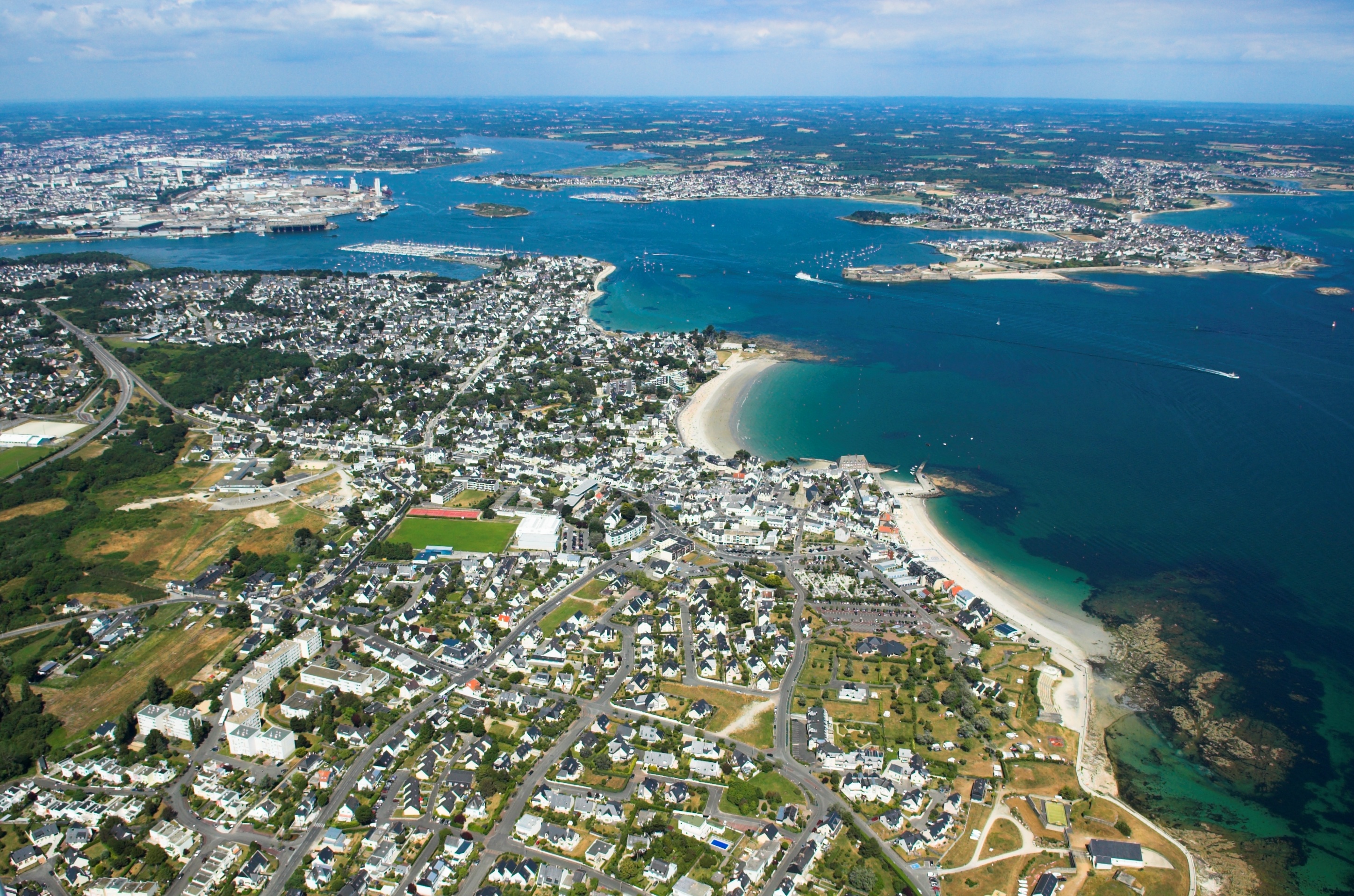
| Description | Vue aérienne de Larmor-Plage 56260 avec la rade de Lorient | ||||||||
| Date | |||||||||
| Source | Own work | ||||||||
| Author | Jack Mamelet | ||||||||
| Permission (Reusing this file) |
I, the copyright holder of this work, hereby publish it under the following licenses:
This file is licensed under the Creative Commons Attribution-Share Alike 2.5 Generic, 2.0 Generic and 1.0 Generic license.
You may select the license of your choice. |

File history
Click on a date/time to view the file as it appeared at that time.
| Date/Time | Thumbnail | Dimensions | User | Comment | |
|---|---|---|---|---|---|
| current | 22:51, 6 March 2007 | | 2,896 × 1,917 (2.17 MB) | Jackmame (talk | contribs) | {{Information |Description= Vue aérienne de Larmor-Plage 56260 avec la rade de Lorient |Source= own work |Date= 27/06/2006 |Author= Jack Mamelet |Permission= |other_versions= }} |
You cannot overwrite this file.
File usage on Commons
The following 4 pages use this file:
File usage on other wikis
The following other wikis use this file:
- Usage on als.wikipedia.org
- Usage on ca.wikipedia.org
- Usage on ceb.wikipedia.org
- Usage on ce.wikipedia.org
- Usage on cy.wikipedia.org
- Usage on de.wikipedia.org
- Usage on en.wikipedia.org
- Usage on eo.wikipedia.org
- Usage on es.wikipedia.org
- Usage on eu.wikipedia.org
- Usage on fr.wikipedia.org
- Lorient
- Géographie de la Bretagne
- Lorient Agglomération
- Groix
- Brandérion
- Bubry
- Calan
- Caudan
- Cléguer
- Gâvres
- Gestel (Morbihan)
- Guidel
- Hennebont
- Inguiniel
- Inzinzac-Lochrist
- Riantec
- Plouay
- Pont-Scorff
- Quéven
- Lanester
- Languidic
- Lanvaudan
- Larmor-Plage
- Rade
- Locmiquélic
- Artificialisation du littoral
- Ploemeur
- Pays de Lorient
- Littoral français
- Quistinic
- Aire urbaine de Lorient
- Modèle:Palette Lorient Agglomération
- Gare de Gestel
- Rade de Lorient
- TK Bremen
View more global usage of this file.