File:Landshut, Germany Landsat 2000.png
Jump to navigation
Jump to search
Size of this preview: 800 × 527 pixels. Other resolutions: 320 × 211 pixels | 640 × 421 pixels | 992 × 653 pixels.
Original file (992 × 653 pixels, file size: 1.35 MB, MIME type: image/png)
Captions
Captions
Add a one-line explanation of what this file represents
| Description |
|
|||
| Source | NASA Worldwind | |||
| Author | Photograph: NASA | |||
| Permission (Reusing this file) |
|

File history
Click on a date/time to view the file as it appeared at that time.
| Date/Time | Thumbnail | Dimensions | User | Comment | |
|---|---|---|---|---|---|
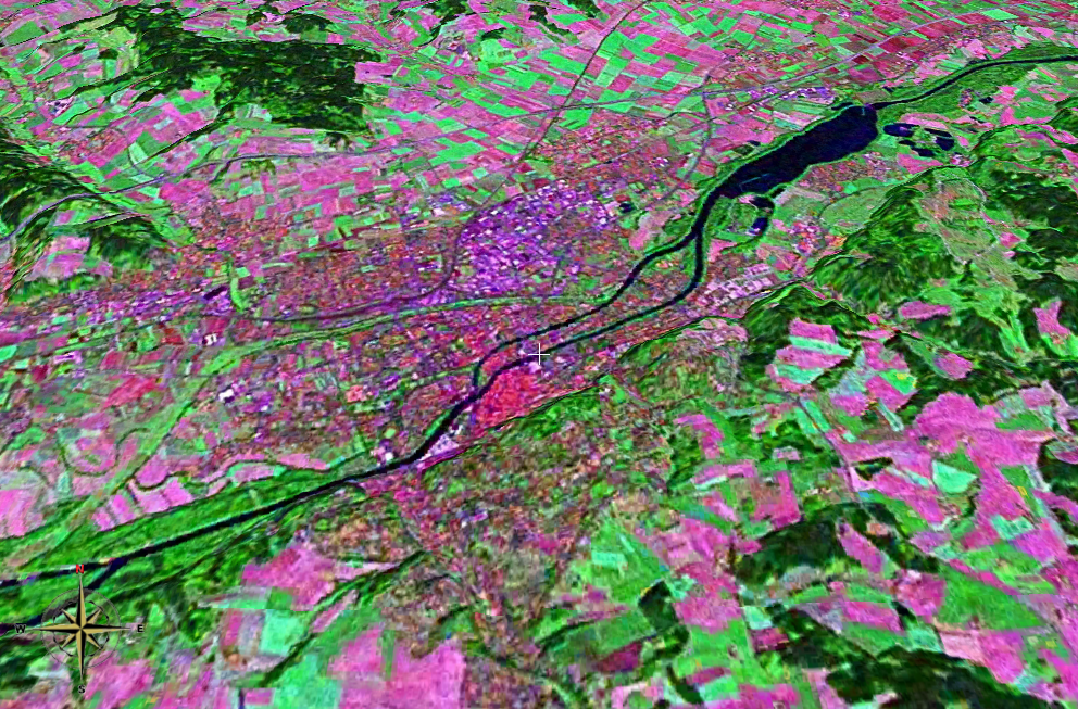
| current | 18:20, 25 November 2006 | | 992 × 653 (1.35 MB) | 2000 (talk | contribs) | {{Information |Description= *Landsat 2000 satellite image of Landshut, Lower Bavaria, Germany heading north, using NASA Worldwind software; *Latitude:48.54064°N, Longitude:12.15672°E *Tilt: 45° |Source=NASA Worldwind |Date= |Author= |Permission={{PD-W |
| 18:14, 25 November 2006 |  | 992 × 653 (1.35 MB) | 2000 (talk | contribs) | {{Information |Description= *Landsat 2000 satellite image of Landshut, Lower Bavaria, Germany heading north, using NASA Worldwind software; *Latitude:48.54064°N, Longitude:12.15672°E *Tilt: 45° |Source=NASA Worldwind |Date= |Author= |Permission={{PD-W |
You cannot overwrite this file.
File usage on Commons
The following page uses this file:
File usage on other wikis
The following other wikis use this file: