File:LT map.png
Jump to navigation
Jump to search

Size of this preview: 307 × 599 pixels. Other resolutions: 123 × 240 pixels | 421 × 821 pixels.
Original file (421 × 821 pixels, file size: 58 KB, MIME type: image/png)
Captions
Captions
Add a one-line explanation of what this file represents
Summary[edit]
| Description |
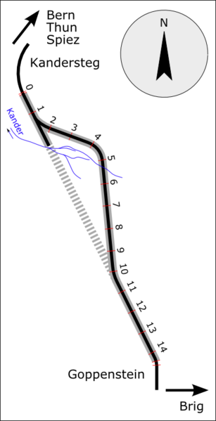
English: Lötschberg rail Tunnel
Čeština: Lötschbergský železniční tunel |
| Date | |
| Source | Own work |
| Author | W.Rebel |
Licensing[edit]
| I, the copyright holder of this work, release this work into the public domain. This applies worldwide. In some countries this may not be legally possible; if so: I grant anyone the right to use this work for any purpose, without any conditions, unless such conditions are required by law. |
File history
Click on a date/time to view the file as it appeared at that time.
| Date/Time | Thumbnail | Dimensions | User | Comment | |
|---|---|---|---|---|---|
| current | 19:42, 8 November 2010 | | 421 × 821 (58 KB) | W.Rebel (talk | contribs) | {{Information |Description={{en|1=Lötschberg rail Tunnel}} {{cs|1=Lötschbergský železniční tunel}} |Source={{own}} |Author=Hapesoft |Date=XI.2010 |Permission= |other_versions= }} Category:Lötschberg rail Tunnel |
You cannot overwrite this file.
File usage on Commons
The following 2 pages use this file:
File usage on other wikis
The following other wikis use this file:
- Usage on cs.wikipedia.org
- Usage on ro.wikipedia.org