File:LI Liberec.png
Jump to navigation
Jump to search

Size of this preview: 679 × 600 pixels. Other resolutions: 272 × 240 pixels | 543 × 480 pixels | 869 × 768 pixels | 1,159 × 1,024 pixels | 2,318 × 2,048 pixels | 2,598 × 2,295 pixels.
Original file (2,598 × 2,295 pixels, file size: 235 KB, MIME type: image/png)
Captions
Captions
Add a one-line explanation of what this file represents
Summary
[edit]
| Description |
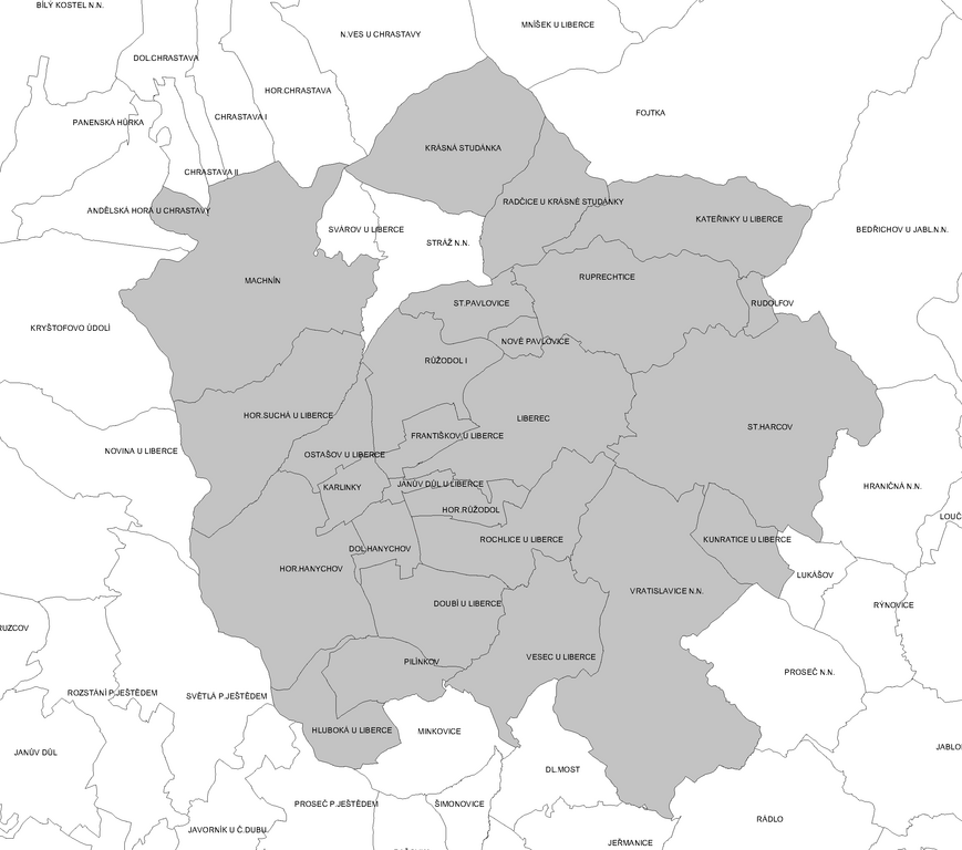
Čeština: Katastrální členění Liberce |
||
| Source | Own work | ||
| Author | JAn Dudík | ||
| Permission (Reusing this file) |
|
File history
Click on a date/time to view the file as it appeared at that time.
| Date/Time | Thumbnail | Dimensions | User | Comment | |
|---|---|---|---|---|---|
| current | 13:12, 8 May 2012 | | 2,598 × 2,295 (235 KB) | Fext (talk | contribs) | Zpřehlednění |
| 05:57, 21 October 2009 |  | 2,615 × 2,295 (202 KB) | JAn Dudík (talk | contribs) | {{Information |Description={{cs|1=Katastrální členění Liberce}} |Source=own Work |Author=JAn Dudík |Date= |Permission= |other_versions= }} Category:Liberec Category:Cadastral maps of the Liberec District |
You cannot overwrite this file.
File usage on Commons
The following 2 pages use this file:
File usage on other wikis
The following other wikis use this file:
- Usage on cs.wikipedia.org
- Usage on eo.wikipedia.org
- Usage on www.wikidata.org