File:L'Anse aux Meadows map.png
Jump to navigation
Jump to search

Size of this preview: 590 × 599 pixels. Other resolutions: 236 × 240 pixels | 472 × 480 pixels | 1,000 × 1,016 pixels.
Original file (1,000 × 1,016 pixels, file size: 346 KB, MIME type: image/png)
Captions
Captions
Add a one-line explanation of what this file represents
Summary[edit]
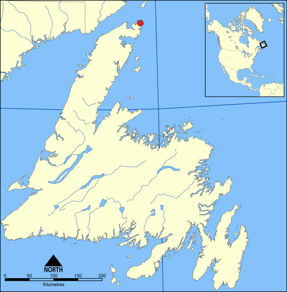
| Description | The location of L'Anse aux Meadows on Newfoundland |
| Date | |
| Source | Image:Gander Lake map.png |
| Author | Coach.nyta |
Licensing[edit]
| I, the copyright holder of this work, release this work into the public domain. This applies worldwide. In some countries this may not be legally possible; if so: I grant anyone the right to use this work for any purpose, without any conditions, unless such conditions are required by law. |
File history
Click on a date/time to view the file as it appeared at that time.
| Date/Time | Thumbnail | Dimensions | User | Comment | |
|---|---|---|---|---|---|
| current | 22:32, 8 November 2015 | | 1,000 × 1,016 (346 KB) | Flappiefh (talk | contribs) | Added Saint-Pierre and Miquelon. |
| 11:41, 5 June 2007 |  | 1,000 × 1,016 (114 KB) | Coach.nyta (talk | contribs) | {{Information |Description=The location of L'Anse aux Meadows on Newfoundland |Source=[http://commons.wikimedia.org/wiki/Image:Gander_Lake_map.png] |Date=June 5, 2007 |Author= Coach.nyta }} Category:Maps of Newfoundland [[Category |
You cannot overwrite this file.
File usage on Commons
There are no pages that use this file.
File usage on other wikis
The following other wikis use this file:
- Usage on af.wikipedia.org
- Usage on ban.wikipedia.org
- Usage on da.wikipedia.org
- Usage on de.wikipedia.org
- Usage on en.wikipedia.org
- Usage on id.wikipedia.org
- Usage on nn.wikipedia.org
- Usage on no.wikipedia.org
- Usage on sh.wikipedia.org
- Usage on sv.wikipedia.org