File:Kuwait Transportation Map-ar.svg
Jump to navigation
Jump to search

Size of this PNG preview of this SVG file: 694 × 599 pixels. Other resolutions: 278 × 240 pixels | 556 × 480 pixels | 890 × 768 pixels | 1,186 × 1,024 pixels | 2,372 × 2,048 pixels | 1,134 × 979 pixels.
Original file (SVG file, nominally 1,134 × 979 pixels, file size: 446 KB)
Captions
Captions
Add a one-line explanation of what this file represents
Summary
[edit]
| Description |
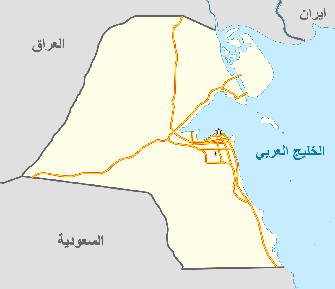
English: Kuwait map showing all the highways.
العربية: خريطة دولة الكويت تبين الخطوط السريعة |
| Date | |
| Source | File:Kuwait_location_map.svg |
| Author | NordNordWest |
Licensing
[edit]
This file is licensed under the Creative Commons Attribution-Share Alike 3.0 Unported license.
- You are free:
- to share – to copy, distribute and transmit the work
- to remix – to adapt the work
- Under the following conditions:
- attribution – You must give appropriate credit, provide a link to the license, and indicate if changes were made. You may do so in any reasonable manner, but not in any way that suggests the licensor endorses you or your use.
- share alike – If you remix, transform, or build upon the material, you must distribute your contributions under the same or compatible license as the original.
File history
Click on a date/time to view the file as it appeared at that time.
| Date/Time | Thumbnail | Dimensions | User | Comment | |
|---|---|---|---|---|---|
| current | 08:53, 24 May 2017 | | 1,134 × 979 (446 KB) | EnGxBaDeR (talk | contribs) | Fixed font issues with Arabic language within SVG file. |
| 00:12, 22 May 2017 |  | 1,134 × 979 (419 KB) | EnGxBaDeR (talk | contribs) | User created page with UploadWizard |
You cannot overwrite this file.
File usage on Commons
There are no pages that use this file.
File usage on other wikis
The following other wikis use this file:
- Usage on ar.wikipedia.org