File:Kohinurakau viewed from Te Mata Peak above clouds - cropped.jpg
Jump to navigation
Jump to search

Size of this preview: 800 × 480 pixels. Other resolutions: 320 × 192 pixels | 1,024 × 614 pixels | 1,280 × 768 pixels | 1,800 × 1,080 pixels.
Original file (1,800 × 1,080 pixels, file size: 285 KB, MIME type: image/jpeg)
Captions
Captions
Add a one-line explanation of what this file represents
Summary
[edit]
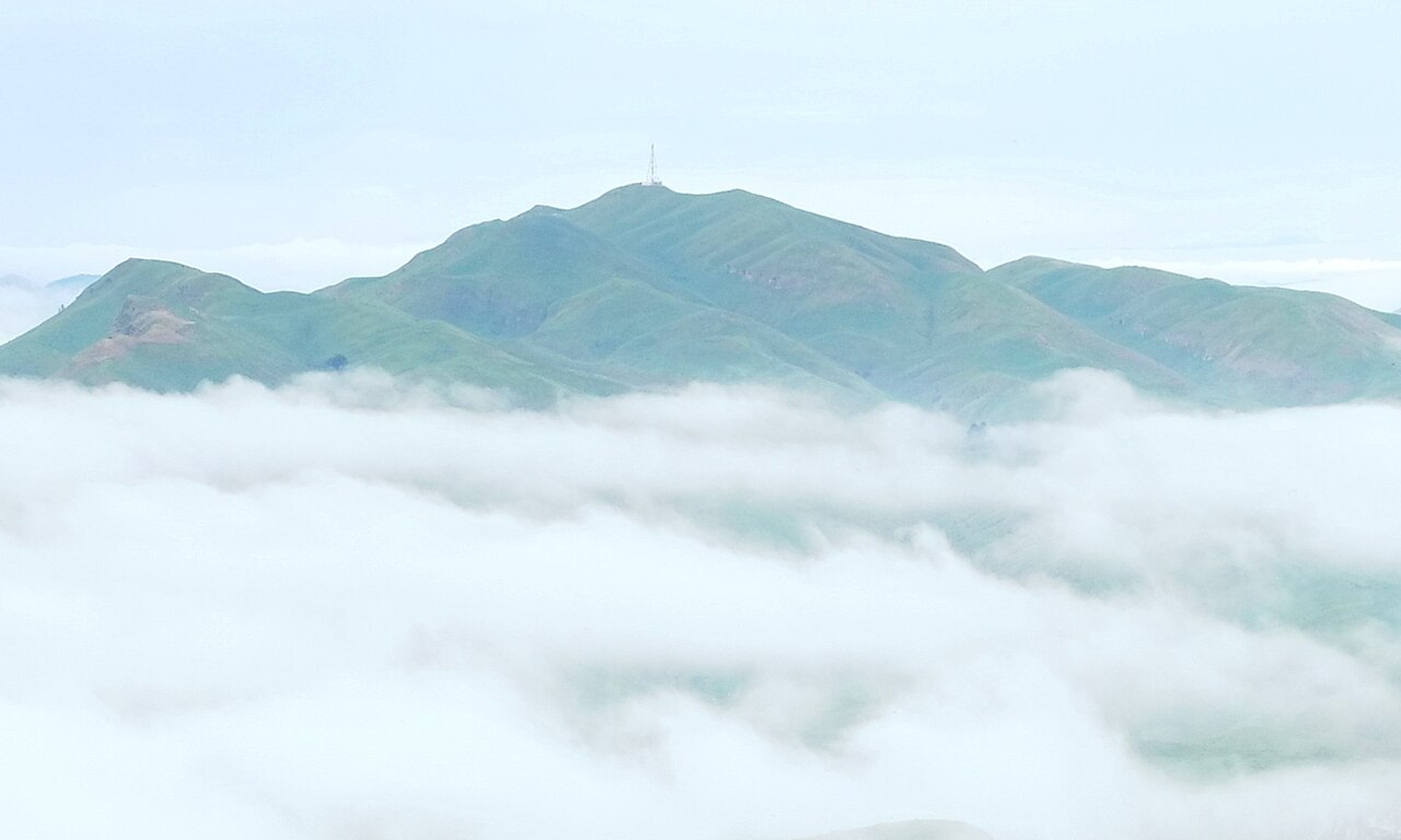
| Description | Kohinurākau viewed from Te Mata Peak above low-lying clouds. Cropped from File:View from Te Mata Peak above clouds towards Kohinurakau.jpg to focus on the pavilion |
| Date | |
| Source | Own work |
| Author | Pseudopanax at English Wikipedia |
| Camera location | | View this and other nearby images on: OpenStreetMap |
|---|
Licensing
[edit]
| I, the copyright holder of this work, release this work into the public domain. This applies worldwide. In some countries this may not be legally possible; if so: I grant anyone the right to use this work for any purpose, without any conditions, unless such conditions are required by law. |
File history
Click on a date/time to view the file as it appeared at that time.
| Date/Time | Thumbnail | Dimensions | User | Comment | |
|---|---|---|---|---|---|
| current | 23:49, 7 August 2023 | | 1,800 × 1,080 (285 KB) | Pseudopanax (talk | contribs) | == {{int:filedesc}} == {{Information |Description=Kohinurākau viewed from Te Mata Peak above low-lying clouds. Cropped from File:View from Te Mata Peak above clouds towards Kohinurakau.jpg to focus on the pavilion |Source={{Own}} |Date=2022-11-16 |Author={{user at project|Pseudopanax|wikipedia|en}} }} {{location|39|42|8.8|S|176|54|34.3|E}} == {{int:license-header}} == {{PD-self}} Category:Geography of Hawke's Bay Region Category:Views from mountains in New Zealand [[Category:Fo... |
You cannot overwrite this file.
File usage on Commons
There are no pages that use this file.
File usage on other wikis
The following other wikis use this file:
- Usage on en.wikipedia.org