File:Khurik village.jpg
Jump to navigation
Jump to search

Size of this preview: 673 × 600 pixels. Other resolutions: 269 × 240 pixels | 539 × 480 pixels | 862 × 768 pixels | 1,149 × 1,024 pixels | 2,298 × 2,048 pixels | 2,627 × 2,341 pixels.
Original file (2,627 × 2,341 pixels, file size: 2.48 MB, MIME type: image/jpeg)
Captions
Captions
Add a one-line explanation of what this file represents
Summary[edit]
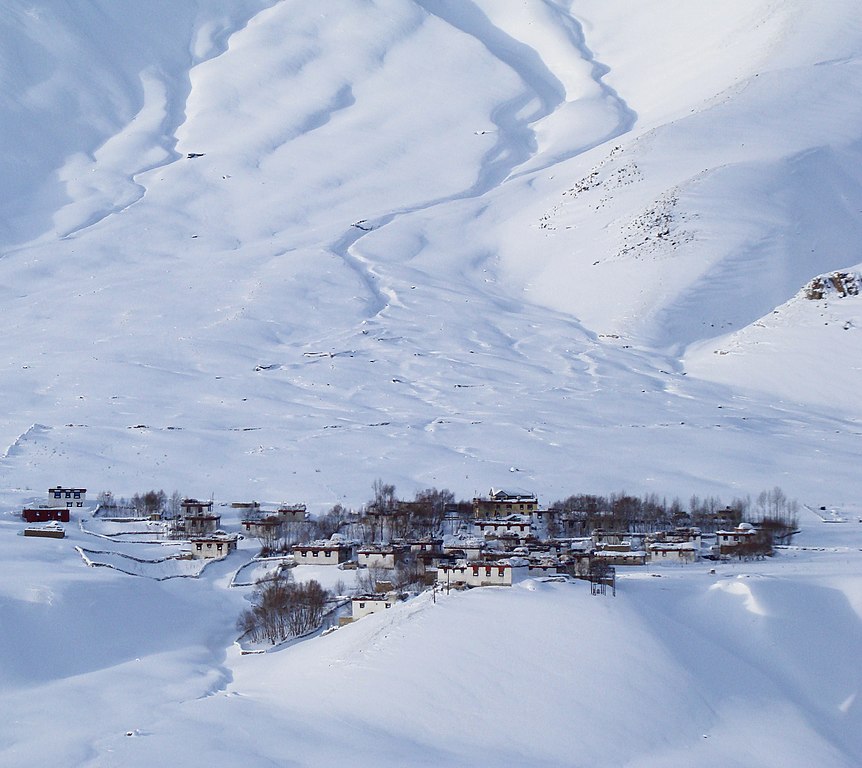
| Description | Khurik village in Spiti valley during winter |
| Date | 26 December 2016 (according to Exif data) |
| Source | Own work |
| Author | Ksuryawanshi |
| Camera location | | View this and other nearby images on: OpenStreetMap |
|---|
The geographical information in this file was retrospectively estimated.
The location may therefore be somewhat imprecise. Verifying and refining these coordinates is strongly encouraged. |
Licensing[edit]
I, the copyright holder of this work, hereby publish it under the following license:
This file is licensed under the Creative Commons Attribution-Share Alike 3.0 Unported license.
- You are free:
- to share – to copy, distribute and transmit the work
- to remix – to adapt the work
- Under the following conditions:
- attribution – You must give appropriate credit, provide a link to the license, and indicate if changes were made. You may do so in any reasonable manner, but not in any way that suggests the licensor endorses you or your use.
- share alike – If you remix, transform, or build upon the material, you must distribute your contributions under the same or compatible license as the original.
| This file was uploaded via Mobile Android App (Commons mobile app) 2.2.2. |

|
This image has been assessed under the valued image criteria and is considered the most valued image on Commons within the scope: Khurik Village, Lahaul and Spiti district. You can see its nomination here. |
File history
Click on a date/time to view the file as it appeared at that time.
| Date/Time | Thumbnail | Dimensions | User | Comment | |
|---|---|---|---|---|---|
| current | 18:03, 16 April 2022 | | 2,627 × 2,341 (2.48 MB) | UnpetitproleX (talk | contribs) | Remove CA |
| 09:03, 1 June 2017 |  | 2,627 × 2,341 (1.25 MB) | Ksuryawanshi (talk | contribs) | Uploaded using Android Commons app |
You cannot overwrite this file.
File usage on Commons
The following 6 pages use this file: