File:Karte des Stella-Landes nach amtlichen Berichten.png
Jump to navigation
Jump to search

Size of this preview: 500 × 599 pixels. Other resolutions: 200 × 240 pixels | 400 × 480 pixels | 641 × 768 pixels | 854 × 1,024 pixels | 1,941 × 2,326 pixels.
Original file (1,941 × 2,326 pixels, file size: 6.55 MB, MIME type: image/png)
Captions
Captions
Add a one-line explanation of what this file represents
Summary
[edit]
| Description |
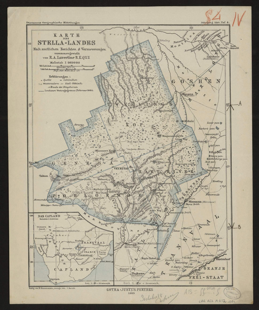
Deutsch: Karte des Stella-Landes nach amtlichen Berichten & Vermessungen / zusammengestellt von R.A. Lavertine B.E.Q.U.I. ; Redig. von B. Hassenstein, autogr. von C. Barich |
|||||||||||||||||||||||||||||||||||
| Date | ||||||||||||||||||||||||||||||||||||
| Source | „Petermanns Geographische Mitteilungen“, Jahrgang 1885, Tafel 4. Bibliothèques municipales de Chambéry | |||||||||||||||||||||||||||||||||||
| Author |
|
|||||||||||||||||||||||||||||||||||
Licensing
[edit]
|
This work is in the public domain in its country of origin and other countries and areas where the copyright term is the author's life plus 70 years or fewer. This work is in the public domain in the United States because it was published (or registered with the U.S. Copyright Office) before January 1, 1929. | |
| This file has been identified as being free of known restrictions under copyright law, including all related and neighboring rights. | |
File history
Click on a date/time to view the file as it appeared at that time.
| Date/Time | Thumbnail | Dimensions | User | Comment | |
|---|---|---|---|---|---|
| current | 14:43, 9 February 2022 | | 1,941 × 2,326 (6.55 MB) | Kristián Czerny (talk | contribs) | Uploaded a work by Bruno Hassenstein (1839-1902) from Petermanns Geographische Mitteilungen, Jahrgang 1888, Tafel 14. [https://bibliotheque-numerique.chambery.fr/idurl/1/24189 Bibliothèques municipales de Chambéry] with UploadWizard |
You cannot overwrite this file.
File usage on Commons
There are no pages that use this file.