File:Karte des Deutschen Reiches - Kartenschnitt.jpg
Jump to navigation
Jump to search
Size of this preview: 669 × 600 pixels. Other resolutions: 268 × 240 pixels | 536 × 480 pixels | 857 × 768 pixels | 1,143 × 1,024 pixels | 1,570 × 1,407 pixels.
Original file (1,570 × 1,407 pixels, file size: 958 KB, MIME type: image/jpeg)
Captions
Captions
Add a one-line explanation of what this file represents
Summary[edit]
| Description |
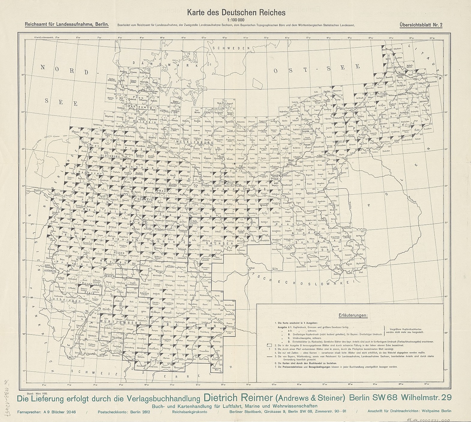
English: Karte des Deutschen Reiches. 1 : 100.000. |
| Date | circa 1891 |
| Source | Deutsche Fotothek: Karte des Deutschen Reiches |
| Author | n.n. |
Licensing[edit]
|
This work is in the public domain in its country of origin and other countries and areas where the copyright term is the author's life plus 70 years or fewer. This work is in the public domain in the United States because it was published (or registered with the U.S. Copyright Office) before January 1, 1929. | |
| This file has been identified as being free of known restrictions under copyright law, including all related and neighboring rights. | |
File history
Click on a date/time to view the file as it appeared at that time.
| Date/Time | Thumbnail | Dimensions | User | Comment | |
|---|---|---|---|---|---|
| current | 23:33, 12 August 2018 | | 1,570 × 1,407 (958 KB) | Woodie Wood (talk | contribs) | User created page with UploadWizard |
You cannot overwrite this file.
File usage on Commons
The following 17 pages use this file:
- File:KDR-002 Schattern (1929).jpg
- File:KDR-010 Medischkehmen (1939).jpg
- File:KDR-017 Heinrichswalde (1893).jpg
- File:KDR-019 Wischwill (1893).jpg
- File:KDR-033 Pillkallen (1893).jpg
- File:KDR-034 Schirwindt-Wladyslawow (1915).jpg
- File:KDR-054 Stalluponen (1893).jpg
- File:KDR-078 Mehlkehmen (1893).jpg
- File:KDR - 000 - Kartenschnitt.jpg (file redirect)
- File:Karte des Deutschen Reiches - 001 - Nimmersatt - 002 - Schattern (1880).jpg
- File:Karte des Deutschen Reiches - 003 - Memel (1906).jpg
- File:Karte des Deutschen Reiches - 004 - Paaschken (1880).jpg
- File:Karte des Deutschen Reiches - 008 - Kinten (1880).jpg
- File:Karte des Deutschen Reiches - 009 - Heydekrug (1880).jpg
- File:Karte des Deutschen Reiches - 010 - Medischkehmen - 018 - Tilsit (1861).jpg
- Template:Generalstabskarte LT
- Category:Karte des Deutschen Reiches
.jpg)
.jpg)
.jpg)
.jpg)
.jpg)
.jpg)
.jpg)
.jpg)
.jpg)
.jpg)
.jpg)
.jpg)
.jpg)
.jpg)
File usage on other wikis
The following other wikis use this file:
- Usage on de.wikipedia.org
- Usage on lt.wikipedia.org
- Usage on www.wikidata.org