File:Karte Deutsche Bundesländer (Bezeichner).svg
Jump to navigation
Jump to search

Size of this PNG preview of this SVG file: 444 × 600 pixels. Other resolutions: 177 × 240 pixels | 355 × 480 pixels | 568 × 768 pixels | 758 × 1,024 pixels | 1,515 × 2,048 pixels | 592 × 800 pixels.
Original file (SVG file, nominally 592 × 800 pixels, file size: 92 KB)
Captions
Captions
Add a one-line explanation of what this file represents
| Description |
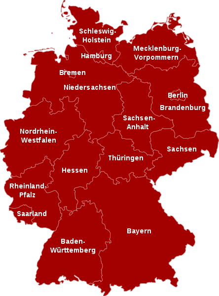
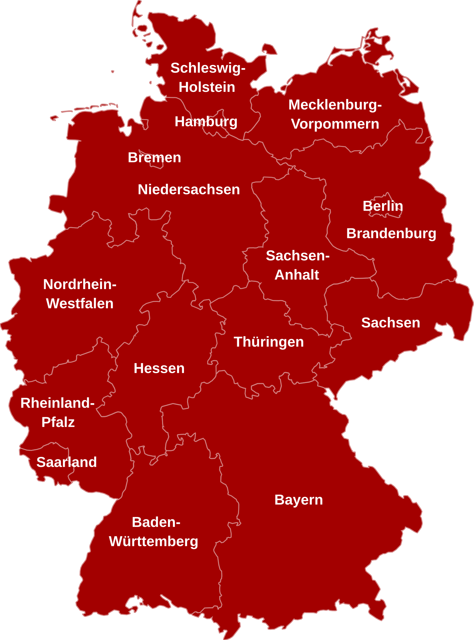
Deutsch: Karte der Bundesrepublik Deutschland mit Bundesländern |
| Source | File:Karte Deutsche Bundesländer (nummeriert).svg |
| Author | David Liuzzo, derivative work by User:elya |
| Permission (Reusing this file) |
This file is licensed under the Creative Commons Attribution-Share Alike 2.0 Germany license.
 |
.svg)
File history
Click on a date/time to view the file as it appeared at that time.
| Date/Time | Thumbnail | Dimensions | User | Comment | |
|---|---|---|---|---|---|
| current | 10:18, 20 August 2016 | | 592 × 800 (92 KB) | Martin Kraft (talk | contribs) | Für WLM 2016 überarbeitet. Farben prägnanter und Texte besser lesbar gemacht. |
| 05:59, 26 August 2011 |  | 592 × 801 (111 KB) | Elya (talk | contribs) | fonts | |
| 05:58, 26 August 2011 |  | 592 × 801 (111 KB) | Elya (talk | contribs) | labels adjusted | |
| 05:49, 26 August 2011 |  | 592 × 801 (110 KB) | Elya (talk | contribs) | labels added | |
| 22:33, 25 August 2011 |  | 592 × 801 (110 KB) | Giro720 (talk | contribs) | fixing issue (see Commons:Village_pump#ENTITY_issue_with_SVG) | |
| 21:11, 25 August 2011 |  | 592 × 801 (110 KB) | Elya (talk | contribs) | {{Information |Description={{de|Karte der Bundesrepublik Deutschland mit Bundesländern}} |Source=File:Karte Deutsche Bundesländer (nummeriert).svg |Date= |Author= David Liuzzo, derivative work by User:elya |Permission={{Cc |
You cannot overwrite this file.
File usage on Commons
The following 2 pages use this file:
File usage on other wikis
The following other wikis use this file:
- Usage on de.wikipedia.org
- Wikipedia:Wiki Loves Earth 2016/Deutschland/Karte
- Wikipedia:Wiki Loves Monuments 2016/Deutschland/Mitmachen/Hochladen
- Wikipedia:Wiki Loves Monuments 2016/Deutschland/Mitmachen/Denkmallisten
- Wikipedia:Wiki Loves Earth 2017/Deutschland/Karte
- Wikipedia:Wiki Loves Monuments 2017/Deutschland/Mitmachen/Denkmale
- Wikipedia:Wiki Loves Monuments 2017/Deutschland/Mitmachen/Hochladen
- Wikipedia:Wiki Loves Earth 2018/Deutschland/Karte
- Wikipedia:Wiki Loves Monuments 2018/Deutschland/Denkmale
- Wikipedia:Wiki Loves Monuments 2018/Deutschland/Hochladen
- Wikipedia:Wiki Loves Earth 2019/Deutschland/Karte
- Wikipedia:Wiki Loves Monuments 2019/Deutschland/Hochladen
- Wikipedia:Wiki Loves Monuments 2019/Deutschland/Denkmale
- Wikipedia:Wiki Loves Earth 2020/Deutschland/Karte
- Wikipedia:Wiki Loves Monuments 2020/Deutschland/Hochladen
- Wikipedia:Wiki Loves Monuments 2020/Deutschland/Denkmale
- Wikipedia:Wiki Loves Earth 2021/Deutschland/Karte
- Wikipedia:Wiki Loves Monuments 2021/Deutschland/Denkmale
- Wikipedia:Wiki Loves Monuments 2021/Deutschland/Hochladen
- Wikipedia:Wiki Loves Earth 2022/Deutschland/Karte
- Wikipedia:Wiki Loves Monuments 2022/Deutschland/Denkmale
- Wikipedia:Wiki Loves Monuments 2022/Deutschland/Hochladen
- Wikipedia:Wiki Loves Monuments 2023/Deutschland/Denkmale
- Wikipedia:Wiki Loves Monuments 2023/Deutschland/Hochladen
- Wikipedia:Wiki Loves Monuments 2024/Deutschland/Denkmale
- Wikipedia:Wiki Loves Monuments 2024/Deutschland/Hochladen
.svg&oldid=588543238)