File:Karibik 27.png
Jump to navigation
Jump to search

Size of this preview: 800 × 463 pixels. Other resolutions: 320 × 185 pixels | 640 × 370 pixels | 1,024 × 592 pixels | 1,350 × 781 pixels.
Original file (1,350 × 781 pixels, file size: 767 KB, MIME type: image/png)
Captions
Captions
Add a one-line explanation of what this file represents
Summary
[edit]
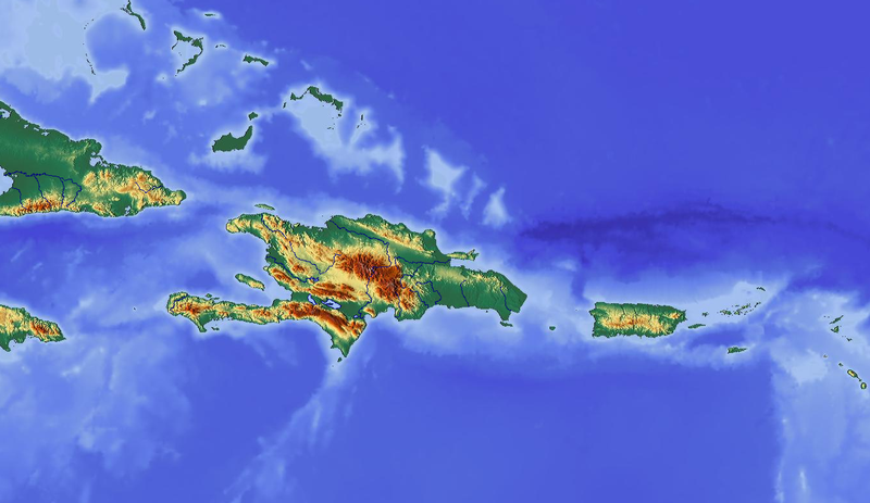
| Description | Maps of the Caribbean; from http://www.maps-for-free.com/ |
| Date | |
| Source | Own work |
| Author | Kaschkawalturist |
| Permission (Reusing this file) |
GNU General Public License |
Licensing
[edit]

|
This work is free software; you can redistribute it and/or modify it under the terms of the GNU General Public License as published by the Free Software Foundation; either version 2 of the License, or any later version. This work is distributed in the hope that it will be useful, but without any warranty; without even the implied warranty of merchantability or fitness for a particular purpose. See version 2 and version 3 of the GNU General Public License for more details. |
File history
Click on a date/time to view the file as it appeared at that time.
| Date/Time | Thumbnail | Dimensions | User | Comment | |
|---|---|---|---|---|---|
| current | 12:32, 5 October 2008 | | 1,350 × 781 (767 KB) | Kaschkawalturist~commonswiki (talk | contribs) | {{Information |Description=Maps of Bulgaria; from http://www.maps-for-free.com/ |Source=own work |Date=Oktober 2008 |Author=Kaschkawalturist |Permission=GNU General Public License |other_versions= }} {{GPL}} [[Category:Maps of |
You cannot overwrite this file.
File usage on Commons
The following page uses this file:
File usage on other wikis
The following other wikis use this file:
- Usage on de.wikipedia.org
- Usage on it.wikipedia.org
- Usage on vi.wikipedia.org
Categories:
- Topographic maps of the Caribbean
- Maps of the Bahamas
- Maps of the Turks and Caicos Islands
- Topographic maps of Haiti
- Topographic maps of the Dominican Republic
- Maps of Navassa Island
- Maps of Puerto Rico
- Maps of the United States Virgin Islands
- Maps of the British Virgin Islands
- Maps of Anguilla
- Topographic maps of Saint-Martin (France)
- Topographic maps of Sint Maarten
- Maps of Saba
- Maps of Montserrat
- Topographic maps of Saint Kitts and Nevis
- Topographic maps of Saint-Barthélemy
- Maps-for-free images