File:Kansas county map.png
Jump to navigation
Jump to search

Size of this preview: 800 × 414 pixels. Other resolutions: 320 × 165 pixels | 640 × 331 pixels | 1,024 × 529 pixels | 1,497 × 774 pixels.
Original file (1,497 × 774 pixels, file size: 158 KB, MIME type: image/png)
Captions
Captions
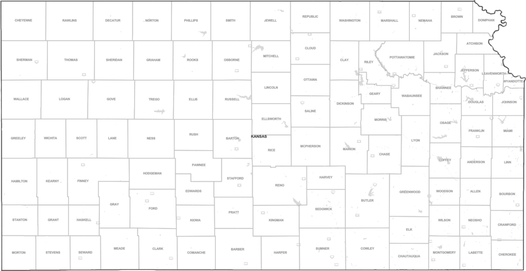
A map of the 105 countes in the US state of Kansas
Summary
[edit]
| Description |
English: A map of the 105 counties making up the US state of Kansas. County names are listed. |
| Date | |
| Source | https://data.census.gov |
| Author | United States Census Bureau |
Licensing
[edit]
This work is in the public domain in the United States because it is a work prepared by an officer or employee of the United States Government as part of that person’s official duties under the terms of Title 17, Chapter 1, Section 105 of the US Code.
Note: This only applies to original works of the Federal Government and not to the work of any individual U.S. state, territory, commonwealth, county, municipality, or any other subdivision. This template also does not apply to postage stamp designs published by the United States Postal Service since 1978. (See § 313.6(C)(1) of Compendium of U.S. Copyright Office Practices). It also does not apply to certain US coins; see The US Mint Terms of Use.
|
 | |
| This file has been identified as being free of known restrictions under copyright law, including all related and neighboring rights. | ||
File history
Click on a date/time to view the file as it appeared at that time.
| Date/Time | Thumbnail | Dimensions | User | Comment | |
|---|---|---|---|---|---|
| current | 00:45, 26 April 2020 | | 1,497 × 774 (158 KB) | Rhonetalsma (talk | contribs) | Uploaded a work by United States Census Bureau from https://data.census.gov with UploadWizard |
You cannot overwrite this file.
File usage on Commons
The following page uses this file:
File usage on other wikis
The following other wikis use this file:
- Usage on ko.wikipedia.org