File:Kamionka (gmina wiejska) location map.png
Original file (884 × 1,133 pixels, file size: 224 KB, MIME type: image/png)
Captions
Captions
Summary
[edit]_location_map.png&action=edit§ion=1)
| Description |
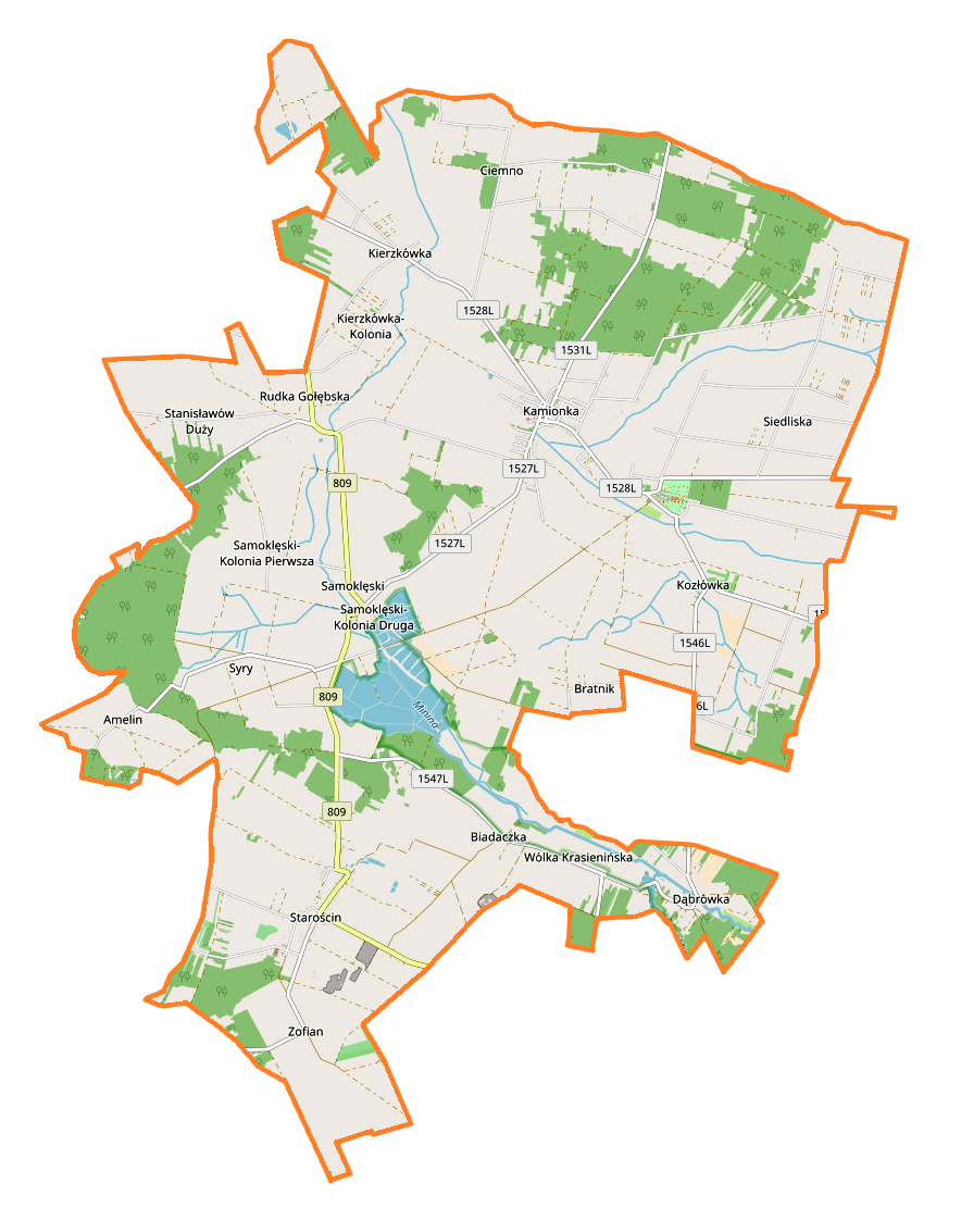
English: Location map |
| Date | |
| Source | Own work |
| Author | Smat |
| Description |
Polski: Mapa gminy Kamionka, Polska
English: Map of Kamionka (gmina wiejska), Poland |
|||||||||
| Date | ||||||||||
| Source | You may find a page on the OpenStreetMap wiki page for Kamionka (gmina wiejska) | |||||||||
| Creator |
OpenStreetMap contributors OpenStreetMap contributors |
|||||||||
| Permission (Reusing this file) |
OpenStreetMap data is available under the Open Database License (details). Map tiles are licensed under the Creative Commons Attribution-ShareAlike 2.0 license (CC-BY-SA 2.0).
This file is licensed under the Creative Commons Attribution-Share Alike 2.0 Generic license.
|
|||||||||
| Geotemporal data | ||||||||||
| Bounding box |
|
|||||||||
| Georeferencing | If inappropriate please set warp_status = skip to hide. | |||||||||
Licensing
[edit]_location_map.png&action=edit§ion=2)
| This work contains information from OpenStreetMap, which is made available under the Open Database License (ODbL).
The ODbL does not require any particular license for maps produced from ODbL data. Prior to 1 August 2020, map tiles produced by the OpenStreetMap Foundation were licensed under the CC-BY-SA-2.0 license. Maps produced by other people may be subject to other licences. |
File history
Click on a date/time to view the file as it appeared at that time.
| Date/Time | Thumbnail | Dimensions | User | Comment | |
|---|---|---|---|---|---|
| current | 11:47, 15 September 2017 | | 884 × 1,133 (224 KB) | Smat (talk | contribs) | User created page with UploadWizard |
You cannot overwrite this file.
File usage on Commons
There are no pages that use this file.
File usage on other wikis
The following other wikis use this file:
- Usage on pl.wikipedia.org
- Pałac w Kozłówce
- Kamionka (powiat lubartowski)
- Kamionka (gmina)
- Biadaczka
- Bratnik
- Kierzkówka
- Rudka Gołębska
- Syry
- Stanisławów Duży
- Wólka Krasienińska
- Zofian
- Ciemno (województwo lubelskie)
- Kozłówka (powiat lubartowski)
- Samoklęski (województwo lubelskie)
- Starościn (województwo lubelskie)
- Amelin (powiat lubartowski)
- Dąbrówka (powiat lubartowski)
- Siedliska (powiat lubartowski)
- Dębowiec (Kozłówka)
- Kierzkówka-Kolonia
- Samoklęski-Kolonia Pierwsza
- Parafia św. Apostołów Piotra i Pawła w Kamionce
- Cmentarz żydowski w Kamionce
- Samoklęski-Kolonia Druga
- Starościn-Kolonia
- Muzeum Zamoyskich w Kozłówce
- Pomnik żołnierzy napoleońskich w Kozłówce
- Kościół Świętych Apostołów Piotra i Pawła w Kamionce
- Parafia Matki Bożej Anielskiej w Starościnie
- Koszary (Starościn)
- Kruk (Starościn)
- Milin (Starościn)
- Okrągłe (Starościn)
- Moduł:Mapa/dane/Kamionka (gmina)
- Moduł:Mapa/dane/Kamionka (powiat lubartowski)
- Grabowy Las (województwo lubelskie)
- Nowy Skrobów
- Ostrów (gmina Kamionka)
- Polny Młyn (województwo lubelskie)
- Stare Pole (województwo lubelskie)
- Kokosz (kolonia)
- Krzywy Dąb
- Usage on pl.wikibooks.org
_location_map.png&oldid=708055244)