File:Kadrina mõis.jpg
Jump to navigation
Jump to search

Size of this preview: 800 × 597 pixels. Other resolutions: 320 × 239 pixels | 640 × 478 pixels | 1,024 × 765 pixels | 1,280 × 956 pixels | 1,686 × 1,259 pixels.
Original file (1,686 × 1,259 pixels, file size: 759 KB, MIME type: image/jpeg)
Captions
Captions
Add a one-line explanation of what this file represents
Summary[edit]
| Description |
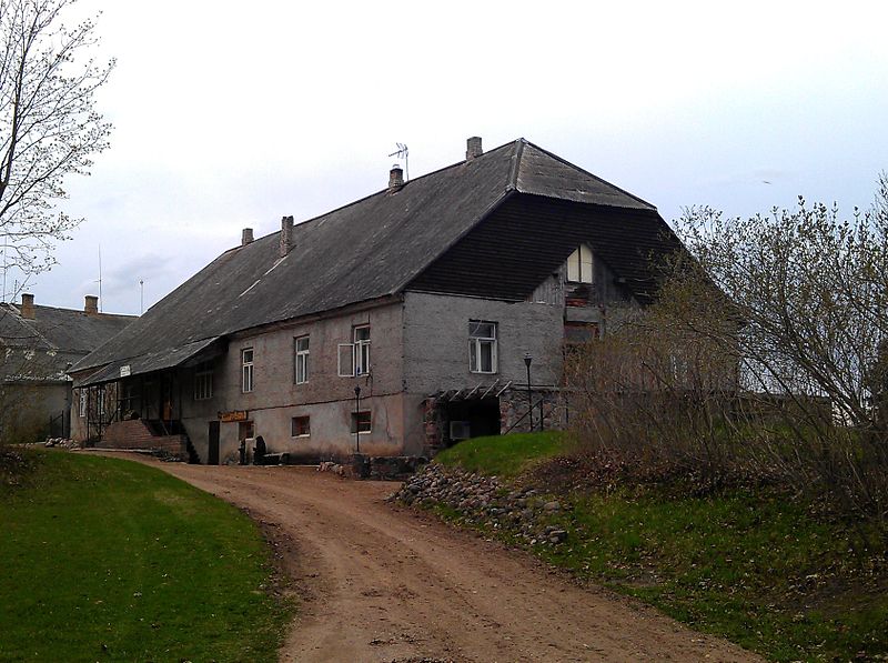
English: Kadrina manor house, Pala Parish, Jõgeva County, Estonia |
||
| Date | |||
| Source | Own work | ||
| Author | Robert Reisman (WooteleF) | ||
| Permission (Reusing this file) |
|
| Camera location | | View this and other nearby images on: OpenStreetMap |
|---|
Licensing[edit]
This file is licensed under the Creative Commons Attribution 3.0 Unported license.
- You are free:
- to share – to copy, distribute and transmit the work
- to remix – to adapt the work
- Under the following conditions:
- attribution – You must give appropriate credit, provide a link to the license, and indicate if changes were made. You may do so in any reasonable manner, but not in any way that suggests the licensor endorses you or your use.
File history
Click on a date/time to view the file as it appeared at that time.
| Date/Time | Thumbnail | Dimensions | User | Comment | |
|---|---|---|---|---|---|
| current | 11:44, 3 September 2012 | | 1,686 × 1,259 (759 KB) | RobertRSMN (talk | contribs) | {{Information |Description=Kadrina manor, Pala parish, Jõgeva county, Estonia |Source={{own}} |Date=07.05.2012 |Author= Robert Reisman (WooteleF) |Permission={{User:WooteleF/credit}}{{cc-by-3.0}} |other_versions= }} [[Category:Manor... |
You cannot overwrite this file.
File usage on Commons
The following page uses this file:
File usage on other wikis
The following other wikis use this file:
- Usage on cs.wikipedia.org