File:Kaart van het graafschap Vlaanderen Comitatus Flandriae in omnes ejusdem subjacentes ditiones (titel op object), RP-P-AO-18-34.jpg
Jump to navigation
Jump to search

Size of this preview: 709 × 599 pixels. Other resolutions: 284 × 240 pixels | 568 × 480 pixels | 909 × 768 pixels | 1,211 × 1,024 pixels | 2,423 × 2,048 pixels | 5,108 × 4,318 pixels.
Original file (5,108 × 4,318 pixels, file size: 5.13 MB, MIME type: image/jpeg)
Captions
Captions
Add a one-line explanation of what this file represents
Summary[edit]
,_RP-P-AO-18-34.jpg&action=edit§ion=1)
| Description |
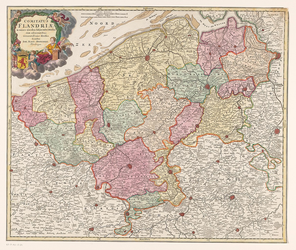
Nederlands: Identificatie Titel(s): Kaart van het graafschap Vlaanderen. Comitatus Flandriae in omnes ejusdem subjacentes ditiones (...) (titel op object) Objecttype: prent kaart Objectnummer: RP-P-AO-18-34 Omschrijving: Kaart van het graafschap Vlaanderen. Linksboven de titelcartouche met putti en het wapen van het graafschap Vlaanderen. Boven, links van het midden, twee schaalstokken: 4 Milliaria Germanica / 5 Milliaria Gallica. De kaart is voorzien van een gradenverdeling langs de randen. Vervaardiging Vervaardiger: prentmaker: anoniemuitgever: Johann Baptista Homann (vermeld op object) Plaats vervaardiging: Neurenberg Datering: 1674 - 1724 Fysieke kenmerken: ets en gravure, met de hand gekleurd Materiaal: papier Techniek: graveren (drukprocedé) / etsen / met de hand kleuren Afmetingen: blad: h 479 mm × b 571 mm Onderwerp Wat: maps of separate countries or regionscoat of arms (as symbol of the state, etc.) (+ province; provincial), cupids: 'amores', 'amoretti', 'putti' Waar: Vlaanderen. Graafschap Vlaanderen Verwerving en rechten Verwerving: overdracht van beheer 1887 Copyright: Publiek domein |
| Date | between 1674 and 1724 |
| Source | http://hdl.handle.net/10934/RM0001.COLLECT.692502 |
| Author | Rijksmuseum |
Licensing[edit]
,_RP-P-AO-18-34.jpg&action=edit§ion=2)
| This file is made available under the Creative Commons CC0 1.0 Universal Public Domain Dedication. | |
| The person who associated a work with this deed has dedicated the work to the public domain by waiving all of their rights to the work worldwide under copyright law, including all related and neighboring rights, to the extent allowed by law. You can copy, modify, distribute and perform the work, even for commercial purposes, all without asking permission.
|
File history
Click on a date/time to view the file as it appeared at that time.
| Date/Time | Thumbnail | Dimensions | User | Comment | |
|---|---|---|---|---|---|
| current | 22:02, 8 January 2020 | | 5,108 × 4,318 (5.13 MB) | Mr.Nostalgic (talk | contribs) | == {{int:filedesc}} == {{Information |Description={{nl|1=<br><br><big>'''Identificatie'''</big><br>'''Titel(s): '''Kaart van het graafschap VlaanderenComitatus Flandriae in omnes ejusdem subjacentes ditiones (...) (titel op object)<br>'''Objecttype:''' prent kaart <br>'''Objectnummer:''' RP-P-AO-18-34<br>'''Omschrijving:''' Kaart van het graafschap Vlaanderen. Linksboven de titelcartouche met putti en het wapen van het graafschap Vlaanderen. Boven, links van het midden, twee schaalstokken: 4... |
You cannot overwrite this file.
File usage on Commons
The following page uses this file:
File usage on other wikis
The following other wikis use this file:
- Usage on de.wikipedia.org
,_RP-P-AO-18-34.jpg&oldid=841921824)