File:Jacob's 1878 official map of Prince Edward County, Virginia LOC 2012592122.jpg
Jump to navigation
Jump to search

Size of this preview: 774 × 599 pixels. Other resolutions: 310 × 240 pixels | 620 × 480 pixels | 992 × 768 pixels | 1,280 × 991 pixels | 2,560 × 1,983 pixels | 9,605 × 7,439 pixels.
Original file (9,605 × 7,439 pixels, file size: 7.33 MB, MIME type: image/jpeg)
Captions
Captions
Add a one-line explanation of what this file represents
Summary
[edit]| Description |
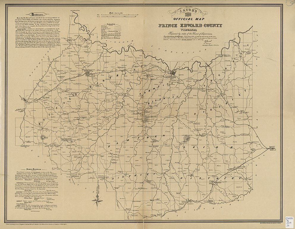
English: Shows magisteral districts and the names of some residents. Relief shown by hachures. Oriented with north toward right. "Entered according to Act of Congress in the Year 1879 by H. Jacob, in the Office of the Librarian of Congress at Washington." LC Land ownership maps, 1327 Includes text and information on boundaries. Available also through the Library of Congress Web site as a raster image. Copy imperfect: Losses along fold-line, mounted on cloth. |
||
| Title | Jacob's 1878 official map of Prince Edward County, Virginia | ||
| Shelf ID | G3883.P6G46 1879 .J3 | ||
| Date | |||
| Source | https://www.loc.gov/item/2012592122/ | ||
| Author | Jacob, H.; Campbell, Albert H. (Albert Henry); Gilmer, Jeremy Francis; Minis, Louisa Porter; Confederate States Of America. Army. Department Of Northern Virginia; Virginia Historical Society | ||
| Permission (Reusing this file) |
|
||
| Other versions |
|
||
| Location | United States · Virginia · Prince Edward County | ||
| Part of | American Memory · Catalog · County Landownership Maps · Geography And Map Division · Cultural Landscapes | ||
| Subject | Cadastral Maps · Virginia · United States · Maps · Prince Edward County (Va.) · Real Property · Landowners · Prince Edward County |


Licensing
[edit]
|
This is a faithful photographic reproduction of a two-dimensional, public domain work of art. The work of art itself is in the public domain for the following reason:
The official position taken by the Wikimedia Foundation is that "faithful reproductions of two-dimensional public domain works of art are public domain".
This photographic reproduction is therefore also considered to be in the public domain in the United States. In other jurisdictions, re-use of this content may be restricted; see Reuse of PD-Art photographs for details. | ||||
File history
Click on a date/time to view the file as it appeared at that time.
| Date/Time | Thumbnail | Dimensions | User | Comment | |
|---|---|---|---|---|---|
| current | 11:13, 13 June 2018 | | 9,605 × 7,439 (7.33 MB) | Fæ (talk | contribs) | LOC Maps https://www.loc.gov/item/2012592122/ #28959 |
You cannot overwrite this file.
File usage on Commons
The following page uses this file: