File:Istachatta - WST Facing South.jpg
Jump to navigation
Jump to search
Size of this preview: 800 × 540 pixels. Other resolutions: 320 × 216 pixels | 640 × 432 pixels | 1,024 × 691 pixels | 1,280 × 864 pixels | 1,800 × 1,215 pixels.
Original file (1,800 × 1,215 pixels, file size: 1.36 MB, MIME type: image/jpeg)
Captions
Captions
Add a one-line explanation of what this file represents
Summary
[edit]
| Description |
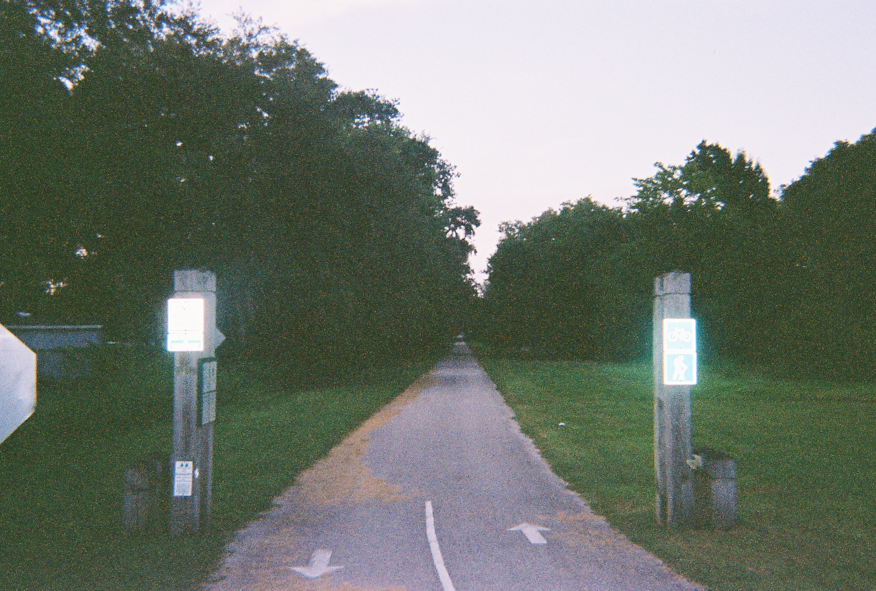
English: The Withlacoochee State Trail facing south from the Magnon Drive crossing in Istachatta, Florida. After running through the Withlacoochee Riverside Community Park, the next crossing will be at Hernando County Road 476(Lake Lindsey Road) in Nobleton, Florida. Beyond that, it'll run through the Withlacoochee State Forest and head towards Croom, Ridge Manor, Trilby, and finally Owensboro Junction in Trilacoochee. |
| Date | Taken on 19 July 2009; 21 November 2009 (upload date) |
| Source | Own work |
| Author | DanTD |
Licensing
[edit]
I, the copyright holder of this work, hereby publish it under the following licenses:
This file is licensed under the Creative Commons Attribution-Share Alike 3.0 Unported license.
- You are free:
- to share – to copy, distribute and transmit the work
- to remix – to adapt the work
- Under the following conditions:
- attribution – You must give appropriate credit, provide a link to the license, and indicate if changes were made. You may do so in any reasonable manner, but not in any way that suggests the licensor endorses you or your use.
- share alike – If you remix, transform, or build upon the material, you must distribute your contributions under the same or compatible license as the original.

|
Permission is granted to copy, distribute and/or modify this document under the terms of the GNU Free Documentation License, Version 1.2 or any later version published by the Free Software Foundation; with no Invariant Sections, no Front-Cover Texts, and no Back-Cover Texts. A copy of the license is included in the section entitled GNU Free Documentation License. |
You may select the license of your choice.
File history
Click on a date/time to view the file as it appeared at that time.
| Date/Time | Thumbnail | Dimensions | User | Comment | |
|---|---|---|---|---|---|
| current | 23:53, 21 November 2009 | | 1,800 × 1,215 (1.36 MB) | DanTD (talk | contribs) | {{Information |Description={{en|1=The {{w|Withlacoochee State Trail}} facing south from the Magnon Drive crossing in {{w|Istachatta, Florida}}. After running through the Withlacoochee Riverside Community Park, the next crossing will be at '''Hernando Coun |
You cannot overwrite this file.
File usage on Commons
The following page uses this file:
File usage on other wikis
The following other wikis use this file:
- Usage on en.wikipedia.org