File:Islington London UK blank ward map.svg
Jump to navigation
Jump to search

Size of this PNG preview of this SVG file: 461 × 599 pixels. Other resolutions: 185 × 240 pixels | 369 × 480 pixels | 591 × 768 pixels | 788 × 1,024 pixels | 1,576 × 2,048 pixels | 974 × 1,266 pixels.
Original file (SVG file, nominally 974 × 1,266 pixels, file size: 242 KB)
Captions
Captions
Add a one-line explanation of what this file represents
| Description |
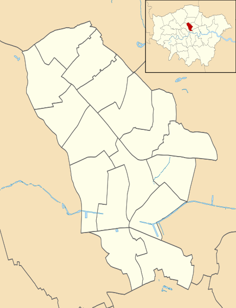
Blank map of the London Borough of Islington, showing electoral wards. Equirectangular map projection on WGS 84 datum, with N/S stretched 160% Geographic limits:
|
| Date | |
| Source |
|
| Author | Nilfanion |
| Permission (Reusing this file) |
This file is licensed under the Creative Commons Attribution-Share Alike 3.0 Unported license. Attribution: Contains Ordnance Survey data © Crown copyright and database right
|
| Other versions |
Derivative works of this file: |
File history
Click on a date/time to view the file as it appeared at that time.
| Date/Time | Thumbnail | Dimensions | User | Comment | |
|---|---|---|---|---|---|
| current | 22:07, 28 July 2011 | | 974 × 1,266 (242 KB) | Nilfanion (talk | contribs) | {{Information |Description=Blank map of the London Borough of Islington, showing electoral wards. Equirectangular map projection on WGS 84 datum, with N/S stretched 160% Geographic limits: *West: 0.15W *East: 0.07W *Nor |
You cannot overwrite this file.
File usage on Commons
The following 3 pages use this file:
File usage on other wikis
The following other wikis use this file:
- Usage on en.wikipedia.org
- Usage on fr.wikipedia.org
- Usage on he.wikipedia.org
- Usage on pl.wikipedia.org
- Arsenal Stadium
- Emirates Stadium
- Artillery Ground
- Marx Memorial Library
- City University
- Archway
- Tufnell Park
- Angel (stacja metra)
- Old Street (stacja kolejowa)
- Rainbow Theatre
- Muzeum Arsenalu F.C.
- Finsbury Park (stacja kolejowa)
- Highbury & Islington (stacja kolejowa)
- Bunhill Fields
- Caledonian Road & Barnsbury
- Moduł:Mapa/dane/Islington
- Moduł:Mapa/dane/GB-ISL
- Pentonville Road
- The Angel
- Usage on pl.wikibooks.org