File:Iranian borders in Omans and Persian Gulf (Cro).PNG
Jump to navigation
Jump to search
Size of this preview: 800 × 437 pixels. Other resolutions: 320 × 175 pixels | 640 × 350 pixels | 1,024 × 559 pixels | 1,410 × 770 pixels.
Original file (1,410 × 770 pixels, file size: 1.65 MB, MIME type: image/png)
Captions
Captions
Add a one-line explanation of what this file represents
Summary[edit]
.PNG&action=edit§ion=1)
| Description |
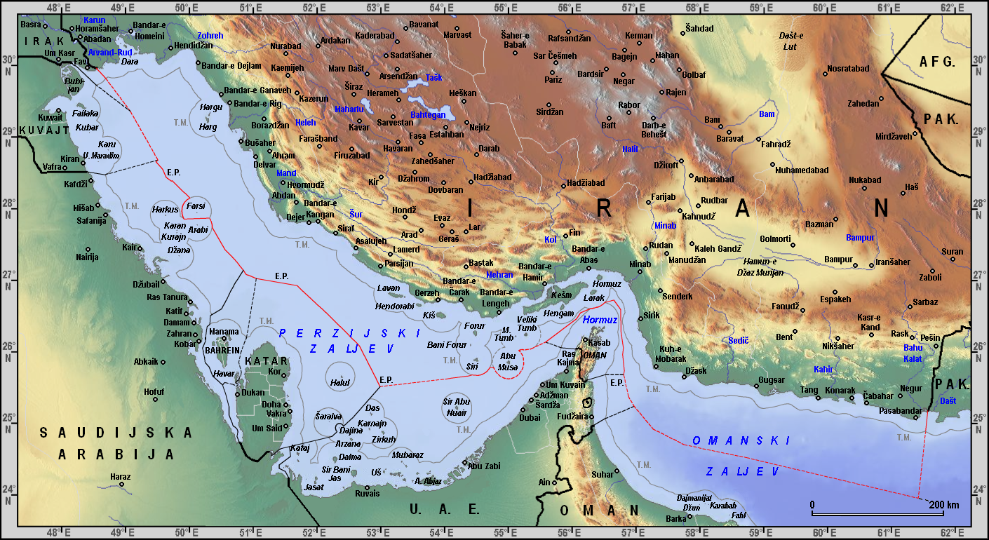
English: Iranian maritime borders in Gulf of Oman and Persian Gulf with Croatian description Hrvatski: Iranske morske granice u Omanskom i Perzijskom zaljevu |
| Date | |
| Source |
Own work, based on: • Relief background from Maps For Free • Toponyms from Geonames with Croatian transliteration • Maps and coordinates from Limits in the Seas (U.S. Department of State; Florida State University) • Documents from UN Maritime boundary delimitation agreements • Ahmad Razavi (1997): Continental shelf delimination and related maritime issues in the Persian Gulf • Pirouz Mojtahed-Zadeh (2003): Security and territoriality in the Persian Gulf: A maritime political geography • Pirouz Mojtahed-Zadeh (2006): Boundary Politics and International Boundaries of Iran, p. 261-365. • Reza Dehghani (2009): Continental Shelf Delimitation in the Persian |
| Author | Orijentolog |
Licensing[edit]
.PNG&action=edit§ion=2)
I, the copyright holder of this work, hereby publish it under the following license:
This file is licensed under the Creative Commons Attribution-Share Alike 3.0 Unported license.
- You are free:
- to share – to copy, distribute and transmit the work
- to remix – to adapt the work
- Under the following conditions:
- attribution – You must give appropriate credit, provide a link to the license, and indicate if changes were made. You may do so in any reasonable manner, but not in any way that suggests the licensor endorses you or your use.
- share alike – If you remix, transform, or build upon the material, you must distribute your contributions under the same or compatible license as the original.
File history
Click on a date/time to view the file as it appeared at that time.
| Date/Time | Thumbnail | Dimensions | User | Comment | |
|---|---|---|---|---|---|
| current | 01:35, 26 March 2012 | | 1,410 × 770 (1.65 MB) | Orijentolog (talk | contribs) |
You cannot overwrite this file.
File usage on Commons
There are no pages that use this file.
File usage on other wikis
The following other wikis use this file:
- Usage on bs.wikipedia.org
- Usage on en.wikipedia.org
- Usage on hr.wikipedia.org
- Usage on it.wiktionary.org
- Usage on sh.wikipedia.org
.PNG&oldid=869185778)
Categories:
- Maps of the Persian Gulf
- Maps of the Gulf of Oman
- Maps of borders of Iran
- Maps of borders of Iraq
- Geography of Kuwait
- International borders of Saudi Arabia
- International borders of Bahrain
- Maps of Qatar
- Maps of the United Arab Emirates
- International borders of Oman
- International borders of Pakistan
- Maps of the Bahu Kalat River
- Maps of the Helleh River
- Maps of the Kol River
- Maps of the Mand River (Iran)
- Maps of the Mehran River
- Maps of the Minab River
- Maps of the Zohreh River