File:IranYazd.png
Jump to navigation
Jump to search
Size of this preview: 648 × 599 pixels. Other resolutions: 260 × 240 pixels | 519 × 480 pixels | 879 × 813 pixels.
Original file (879 × 813 pixels, file size: 25 KB, MIME type: image/png)
Captions
Captions
Add a one-line explanation of what this file represents
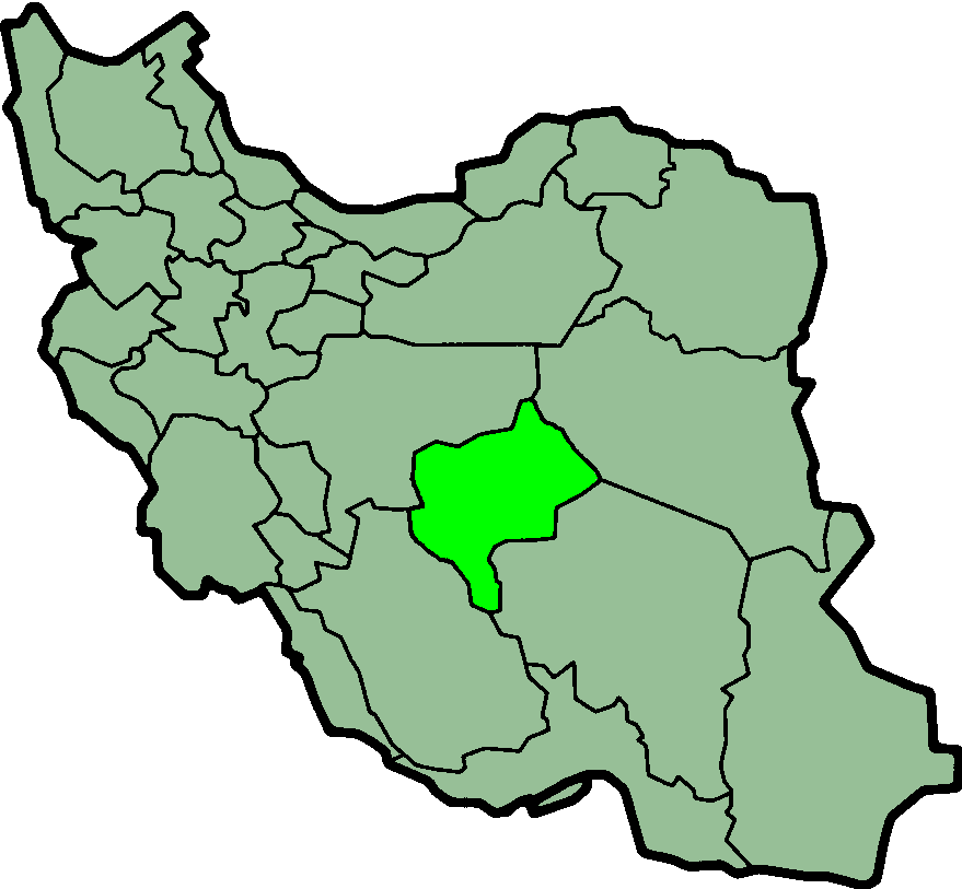
Province of Yazd, Iran

|
This file has been superseded by IranYazd-SVG.svg. It is recommended to use the other file. Please note that deleting superseded images requires consent.
|

|
Taken from en:Image:IranYazd.png
Created by en:User:Morwen

|
Permission is granted to copy, distribute and/or modify this document under the terms of the GNU Free Documentation License, Version 1.2 or any later version published by the Free Software Foundation; with no Invariant Sections, no Front-Cover Texts, and no Back-Cover Texts. A copy of the license is included in the section entitled GNU Free Documentation License. |
| This file is licensed under the Creative Commons Attribution-Share Alike 3.0 Unported license. | ||
| ||
| This licensing tag was added to this file as part of the GFDL licensing update. |
File history
Click on a date/time to view the file as it appeared at that time.
| Date/Time | Thumbnail | Dimensions | User | Comment | |
|---|---|---|---|---|---|
| current | 00:20, 24 June 2013 | | 879 × 813 (25 KB) | BasilLeaf (talk | contribs) | بروزرسانی مرز بین استانهای یزد و خراسان جنوبی، تهران و البرز، فارس و یزد و اصفهان |
| 12:07, 12 November 2010 |  | 879 × 813 (41 KB) | M samadi (talk | contribs) | Quality improved, Border of some provinces updated. | |
| 13:13, 13 October 2010 |  | 200 × 185 (16 KB) | Amin19850 (talk | contribs) | Tehran & Alborz Province is divided | |
| 21:59, 8 November 2006 |  | 200 × 185 (14 KB) | Raymond (talk | contribs) | transparent background, improved color palette | |
| 05:30, 17 December 2005 |  | 200 × 185 (19 KB) | Kotoito (talk | contribs) | Yazd Province, Iran, taken from de:Bild:Lage der Provinz Yazd im Iran.png, created by de:Benutzer:Henrik Motakef | |
| 10:41, 17 September 2005 |  | 200 × 185 (20 KB) | Dodo (talk | contribs) | Province of Yazd, Iran Taken from en:Image:IranYazd.png Created by en:User:Morwen {{GFDL}} Category:Maps of Iran |
You cannot overwrite this file.
File usage on Commons
There are no pages that use this file.
File usage on other wikis
The following other wikis use this file:
- Usage on ar.wikipedia.org
- Usage on bn.wikipedia.org
- Usage on ca.wikipedia.org
- Usage on ckb.wikipedia.org
- Usage on da.wikipedia.org
- Usage on el.wikipedia.org
- Usage on en.wikipedia.org
- Chak Chak, Yazd
- Shir Kuh
- Allahabad, Yazd
- Abarkuh County
- Ardakan County
- Bafq County
- Taft County
- Khatam County
- Ashkezar County
- Mehriz County
- Meybod County
- Yazd County
- Meybod
- Zarach, Iran
- Baz, Iran
- Manshad
- Shahid Sadooghi Airport
- Template:Yazd-geo-stub
- Majumard
- User:AlexNebraska/Images of Iran
- Behabad County
- Central District (Ardakan County)
- Ahmadabad, Iran
- Kharanaq District
- Aqda District
- Aqda
- Bafq
- Central District (Bafq County)
- Behabad
- Taft, Iran
- Central District (Taft County)
- Nir, Yazd
- Nir District
- Mehriz
- Central District (Mehriz County)
- Central District (Yazd County)
- Shahediyeh
- Hamidiya
- Zarach District
- Central District (Meybod County)
- Central District (Abarkuh County)
- Mehrdasht
- Bahman District
View more global usage of this file.