File:IranEsfahan.png
Jump to navigation
Jump to search

Size of this preview: 648 × 599 pixels. Other resolutions: 260 × 240 pixels | 519 × 480 pixels | 879 × 813 pixels.
Original file (879 × 813 pixels, file size: 43 KB, MIME type: image/png)
Captions
Captions
Add a one-line explanation of what this file represents
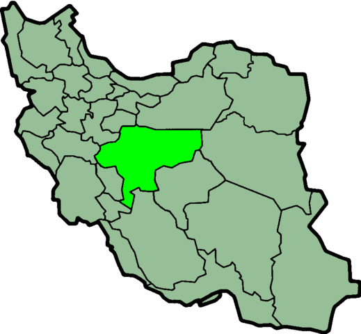
Province of Esfahan, Iran

|
File:IranEsfahan-SVG.svg is a vector version of this file. It should be used in place of this PNG file.
File:IranEsfahan.png → File:IranEsfahan-SVG.svg
For more information, see Help:SVG. |
 |
Taken from en:Image:IranEsfahan.png
Created by en:User:Morwen

|
Permission is granted to copy, distribute and/or modify this document under the terms of the GNU Free Documentation License, Version 1.2 or any later version published by the Free Software Foundation; with no Invariant Sections, no Front-Cover Texts, and no Back-Cover Texts. A copy of the license is included in the section entitled GNU Free Documentation License. |
| This file is licensed under the Creative Commons Attribution-Share Alike 3.0 Unported license. | ||
| ||
| This licensing tag was added to this file as part of the GFDL licensing update. |
File history
Click on a date/time to view the file as it appeared at that time.
| Date/Time | Thumbnail | Dimensions | User | Comment | |
|---|---|---|---|---|---|
| current | 00:47, 17 April 2019 | | 879 × 813 (43 KB) | UnLeashedWolfie (talk | contribs) | transparent |
| 23:49, 23 June 2013 |  | 879 × 813 (25 KB) | BasilLeaf (talk | contribs) | بروزرسانی مرز بین استانهای یزد و خراسان جنوبی، تهران و البرز، فارس و یزد و اصفهان | |
| 11:44, 12 November 2010 |  | 879 × 813 (41 KB) | M samadi (talk | contribs) | Border of some provinces updated. | |
| 12:42, 13 October 2010 |  | 697 × 614 (117 KB) | Amin19850 (talk | contribs) | Tehran & Alborz Province is divided | |
| 23:11, 9 March 2007 |  | 697 × 614 (94 KB) | KureCewlik81 (talk | contribs) | ||
| 23:45, 7 November 2006 |  | 200 × 185 (10 KB) | Raymond (talk | contribs) | transparent background, optimized colourpalette | |
| 10:31, 17 September 2005 |  | 200 × 185 (20 KB) | Dodo (talk | contribs) | Province of Esfahan, Iran Taken from en:Image:IranEsfahan.png Created by en:User:Morwen {{GFDL}} Category:Maps of Iran |
You cannot overwrite this file.
File usage on Commons
There are no pages that use this file.
File usage on other wikis
The following other wikis use this file:
- Usage on ar.wikipedia.org
- Usage on az.wikipedia.org
- Usage on bn.wikipedia.org
- Usage on ca.wikipedia.org
- Usage on ckb.wikipedia.org
- Usage on da.wikipedia.org
- Usage on el.wikipedia.org
- Usage on en.wikipedia.org
- Domab, Isfahan
- Rig-e Jenn
- Fereydunshahr
- Rosta, Iran
- Baharestan, Isfahan
- Qamsar
- Falavarjan
- Qeh
- Aznaveh
- Zavareh
- Joshekan province
- Shahreza
- Pir Bakran
- Tiran and Karvan County
- Tiran, Iran
- Fuladshahr
- Raddan
- Aran va Bidgol County
- Ardestan County
- Chadegan County
- Khomeyni Shahr County
- Khansar County
- Semirom County
- Shahreza County
- Dehaqan County
- Faridan County
- Fereydunshahr County
- Mobarakeh County
- Nain County
- Najafabad County
- Natanz County
- Qahderijan
- Dehaqan
- Chadegan
- Vahid Bridge
- Gavkhouni
- Felezi Bridge
- Template:Isfahan-geo-stub
- Mahyar, Isfahan
- Tameh
- User:Babakexorramdin
View more global usage of this file.