File:Indre-et-Loire department location map.svg
Jump to navigation
Jump to search

Size of this PNG preview of this SVG file: 570 × 600 pixels. Other resolutions: 228 × 240 pixels | 456 × 480 pixels | 730 × 768 pixels | 973 × 1,024 pixels | 1,946 × 2,048 pixels | 763 × 803 pixels.
Original file (SVG file, nominally 763 × 803 pixels, file size: 1.5 MB)
Captions
Captions
Add a one-line explanation of what this file represents
Summary
[edit]| Description |
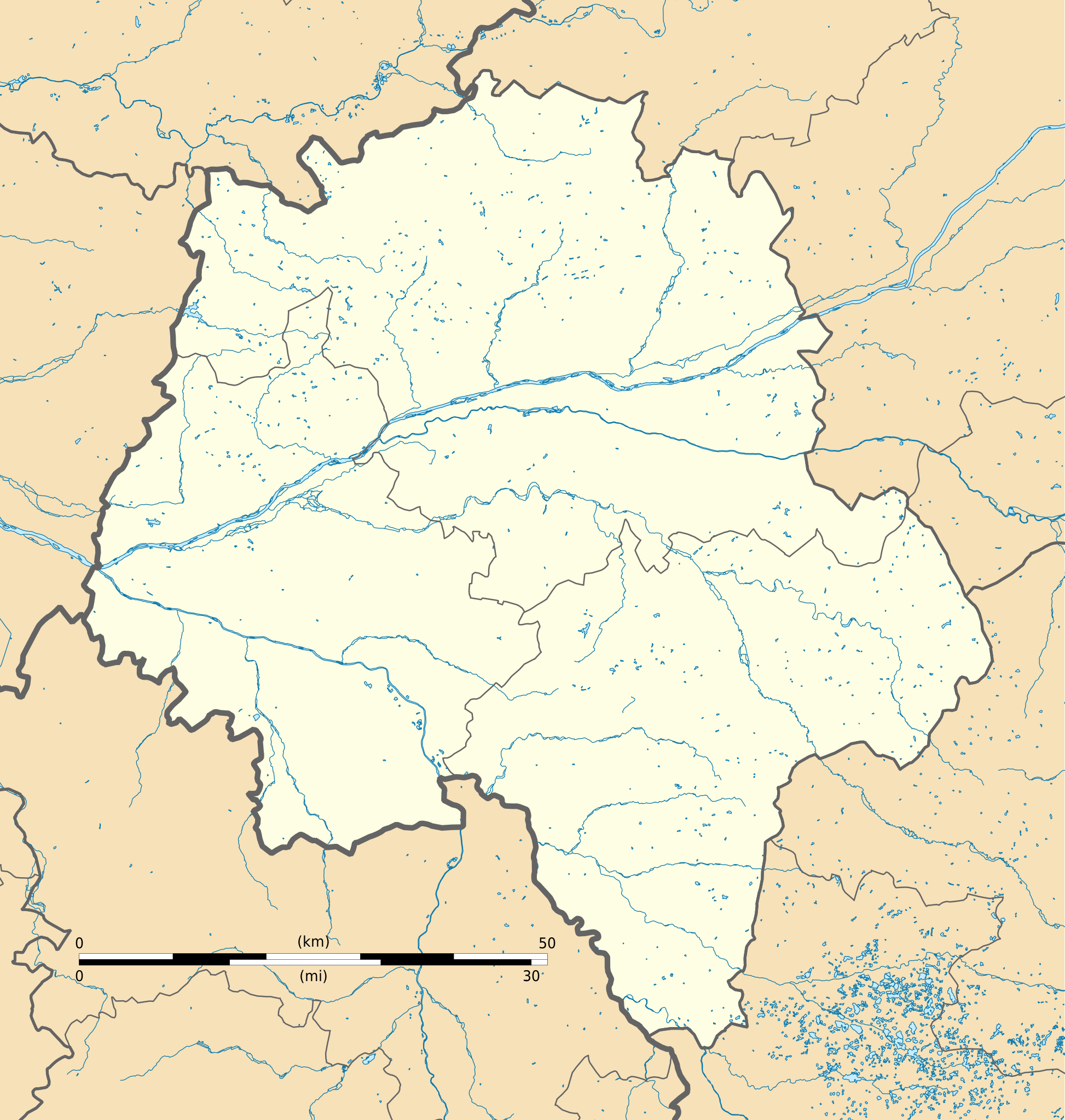
English: Blank administrative map of the department of Indre-et-Loire, France, for geo-location purpose.
Français : Carte administrative vierge du département d'Indre-et-Loire, France, destinée à la géolocalisation.
|
| Date | |
| Source |
Own work
|
| Author | Flappiefh |
| Other versions |
|

Licensing
[edit]
I, the copyright holder of this work, hereby publish it under the following license:
This file is licensed under the Creative Commons Attribution-Share Alike 4.0 International license.
- You are free:
- to share – to copy, distribute and transmit the work
- to remix – to adapt the work
- Under the following conditions:
- attribution – You must give appropriate credit, provide a link to the license, and indicate if changes were made. You may do so in any reasonable manner, but not in any way that suggests the licensor endorses you or your use.
- share alike – If you remix, transform, or build upon the material, you must distribute your contributions under the same or compatible license as the original.
File history
Click on a date/time to view the file as it appeared at that time.
| Date/Time | Thumbnail | Dimensions | User | Comment | |
|---|---|---|---|---|---|
| current | 17:08, 23 June 2016 | | 763 × 803 (1.5 MB) | Flappiefh (talk | contribs) | User created page with UploadWizard |
You cannot overwrite this file.
File usage on Commons
The following 2 pages use this file:
File usage on other wikis
The following other wikis use this file:
- Usage on fr.wikipedia.org
- Turones
- Château d'Azay-le-Rideau
- Colonie agricole et pénitentiaire de Mettray
- Manoir de la Plâterie
- Langeais (ancienne commune)
- Stade de la Vallée du Cher
- Beaumont-la-Ronce
- Parçay-sur-Vienne
- Les Essards (Indre-et-Loire)
- Ingrandes-de-Touraine
- Saint-Michel-sur-Loire
- Saint-Patrice (Indre-et-Loire)
- Ports-sur-Vienne
- Genillé
- Saint-Bauld
- Louestault
- Patinoire de Tours
- Château de Langeais
- Hippodrome de Tours-Chambray
- Bois des Hâtes
- Mougon (Indre-et-Loire)
- Saint-Gilles-de-l'Île-Bouchard
- Saint-Maurice-de-l'Île-Bouchard
- Aubigny (Indre-et-Loire)
- Liste des commanderies templières dans la région Centre-Val de Loire
- Projet:Communes de France/37 Indre-et-Loire
- Gare de Saint-Pierre-des-Corps
- Prieuré Saint-Cosme de Tours
- Manoir de Montfort
- Centre municipal des sports
- Corroirie
- Château d'Artigny
- Jardins de la Chatonnière
- Abbaye Notre-Dame de Noyers
- Chartreuse du Liget
- Château de Montrésor
- Abbaye de Bourgueil
- Projet:Cartographie/Cartes standards/France
- Tauxigny
- Château de Vaujours
- Gare de Chinon
- Pile de Cinq-Mars
- Église Notre-Dame d'Yzeures-sur-Creuse
- Gare de Joué-lès-Tours
- Abbaye de Moncé
- Église Saint-Étienne de Villandry
- Château de Richelieu
- Église Saint-Saturnin de Limeray
- Gare de Loches
- Église Saint-Ours de Loches
View more global usage of this file.