File:Indonesia Central Java location map.svg
Jump to navigation
Jump to search

Size of this PNG preview of this SVG file: 600 × 600 pixels. Other resolutions: 240 × 240 pixels | 480 × 480 pixels | 768 × 768 pixels | 1,024 × 1,024 pixels | 2,048 × 2,048 pixels | 1,250 × 1,250 pixels.
Original file (SVG file, nominally 1,250 × 1,250 pixels, file size: 4.8 MB)
Captions
Captions
Add a one-line explanation of what this file represents
Summary[edit]
| Description |
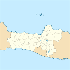
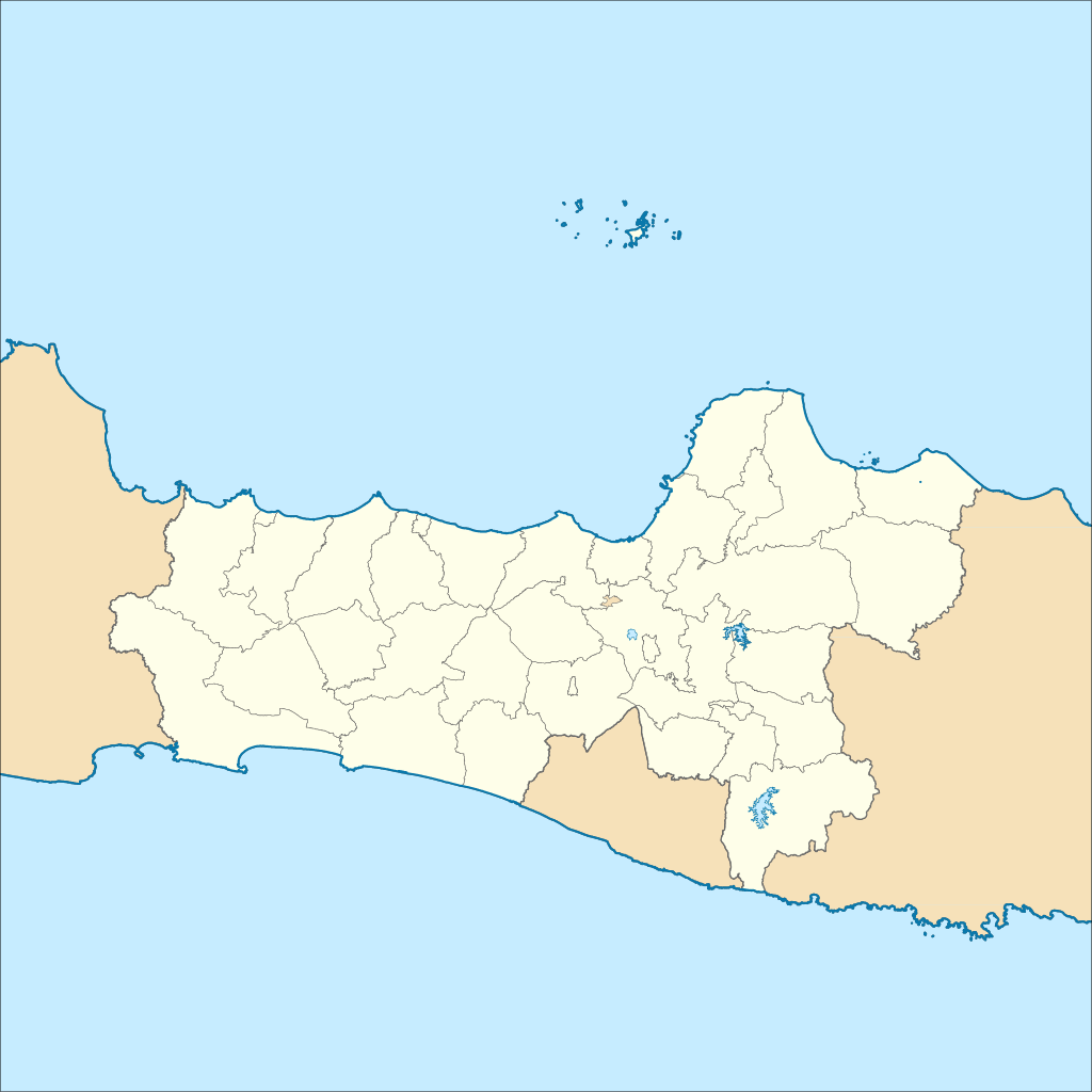
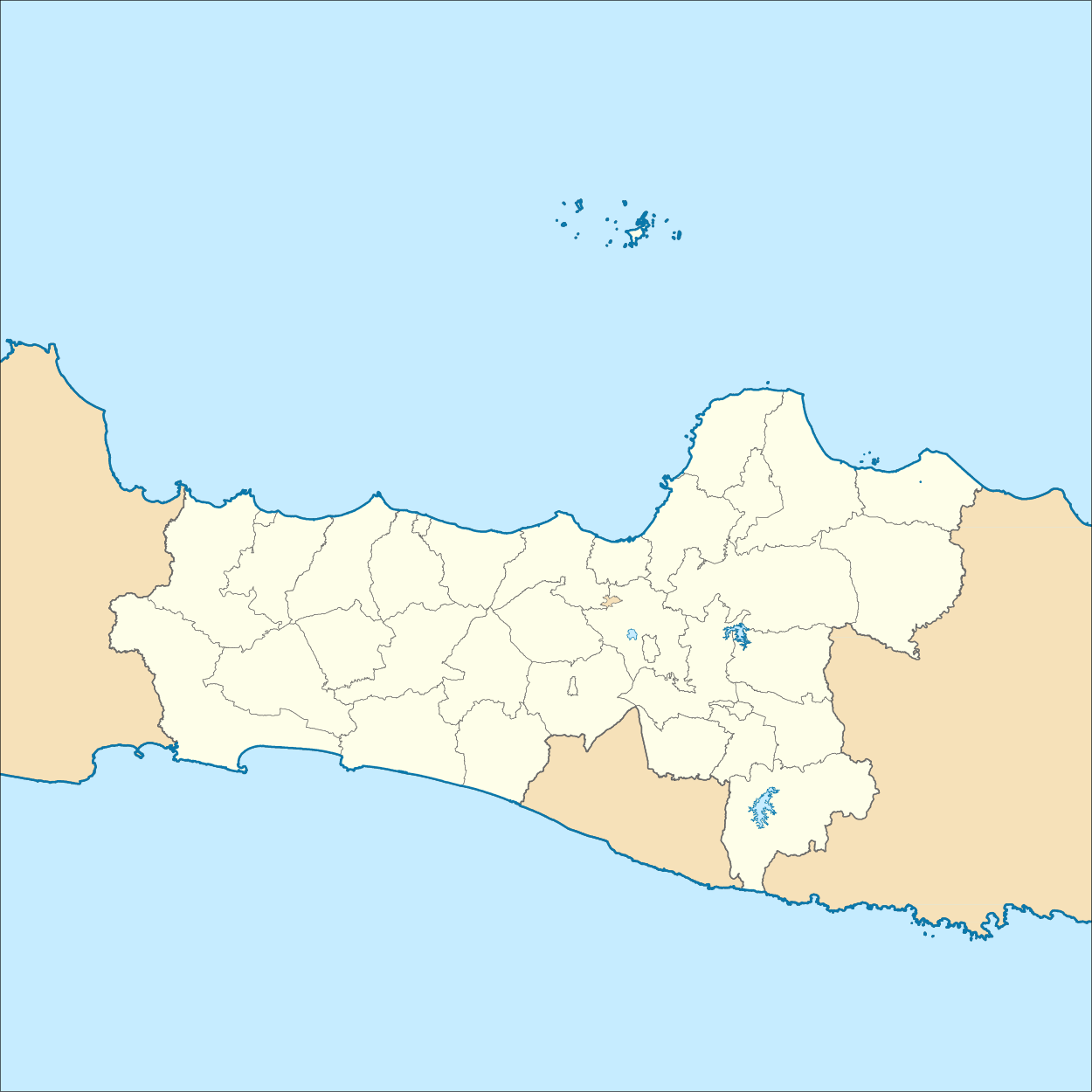
English: Location map of Central Java, Indonesia
Geographic Coordinate System WGS 1984 (EPSG: 4326) Geographic limits of the map:
Bahasa Indonesia: Peta lokasi Jawa Tengah, Indonesia |
| Date | |
| Source | Own work |
| Author | Mandamaruta |
| SVG development |
Licensing[edit]
I, the copyright holder of this work, hereby publish it under the following license:
This file is licensed under the Creative Commons Attribution-Share Alike 4.0 International license.
- You are free:
- to share – to copy, distribute and transmit the work
- to remix – to adapt the work
- Under the following conditions:
- attribution – You must give appropriate credit, provide a link to the license, and indicate if changes were made. You may do so in any reasonable manner, but not in any way that suggests the licensor endorses you or your use.
- share alike – If you remix, transform, or build upon the material, you must distribute your contributions under the same or compatible license as the original.
File history
Click on a date/time to view the file as it appeared at that time.
| Date/Time | Thumbnail | Dimensions | User | Comment | |
|---|---|---|---|---|---|
| current | 09:58, 20 December 2017 | | 1,250 × 1,250 (4.8 MB) | Mandamaruta (talk | contribs) | Newer map data (2008) |
| 07:10, 4 December 2017 |  | 1,500 × 1,037 (2.2 MB) | Mandamaruta (talk | contribs) | renew administrative borders | |
| 07:00, 4 December 2017 |  | 1,500 × 1,037 (1.87 MB) | Mandamaruta (talk | contribs) | User created page with UploadWizard |
You cannot overwrite this file.
File usage on Commons
The following 8 pages use this file:
File usage on other wikis
The following other wikis use this file:
- Usage on ban.wikipedia.org
- Usage on de.wikipedia.org
- Usage on en.wikipedia.org
- Usage on fr.wikipedia.org
- Usage on he.wikipedia.org
- Usage on id.wikipedia.org
- Borobudur
- Gunung Muria
- Patimuan, Cilacap
- Daftar kabupaten dan kota di Jawa Tengah
- Candi Ceto
- Pulau Mandalika
- Bobotsari, Purbalingga
- Bojongsari, Purbalingga
- Nalumsari, Jepara
- Purwareja Klampok, Banjarnegara
- Purbalingga, Purbalingga
- Sangiran
- Pura Mangkunagaran
- Taman Nasional Karimunjawa
- Benteng Vastenburg
- Daftar kecamatan dan kelurahan di Jawa Tengah
- Terminal Tirtonadi
- Pulau Panjang (Jawa Tengah)
- Benteng VOC (Jepara)
- Terminal Giri Adipura
- Benteng Portugis (Jepara)
- Terminal Pilangsari
- Gunung Ayamayam
- Gempa bumi Jawa Tengah 1943
- Istana Djoen Eng
- Templat:Location map Jawa Tengah
- Gedung Pakuwon
- GPIB Tamansari Salatiga
- Cagar Alam Pangandaran, Jawa Barat
- Terminal Mandiraja
- Terminal Pracimantoro
- Terminal Baturetno
- Terminal Wonogiri Kota
- Terminal Jatisrono
View more global usage of this file.