File:Indonesia, administrative divisions - fr - monochrome.svg
Jump to navigation
Jump to search

Size of this PNG preview of this SVG file: 800 × 375 pixels. Other resolutions: 320 × 150 pixels | 640 × 300 pixels | 1,024 × 480 pixels | 1,280 × 600 pixels | 2,560 × 1,201 pixels | 1,322 × 620 pixels.
Original file (SVG file, nominally 1,322 × 620 pixels, file size: 319 KB)
Captions
Captions
Add a one-line explanation of what this file represents
Summary
[edit]
| Description |
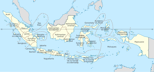
English: Indonesia provinces map (in French)
Esperanto: Mapo de indoneziaj provincoj (en la franca)
Français : Carte des provinces indonésiennes (en français)
Русский: Карта индонезийских провинций (по-француски) |
| Date | |
| Source | File:Indonesia provinces location map-en.svg |
| Author |
|
Licensing
[edit]
This file is licensed under the Creative Commons Attribution 3.0 Unported license.
- You are free:
- to share – to copy, distribute and transmit the work
- to remix – to adapt the work
- Under the following conditions:
- attribution – You must give appropriate credit, provide a link to the license, and indicate if changes were made. You may do so in any reasonable manner, but not in any way that suggests the licensor endorses you or your use.
File history
Click on a date/time to view the file as it appeared at that time.
| Date/Time | Thumbnail | Dimensions | User | Comment | |
|---|---|---|---|---|---|
| current | 16:54, 5 May 2012 | | 1,322 × 620 (319 KB) | Mutichou (talk | contribs) |
You cannot overwrite this file.
File usage on Commons
The following 6 pages use this file:
- File:Carte des fuseaux horaires en Indonésie.svg
- File:Indonesia, administrative divisions - Nmbrs - colored.svg
- File:Indonesia, administrative divisions - Nmbrs - monochrome.svg
- File:Indonesia, administrative divisions - de - colored.svg
- File:Indonesia, administrative divisions - de - monochrome.svg
- File:Indonesia provinces location map-fr.svg (file redirect)
File usage on other wikis
The following other wikis use this file:
- Usage on fr.wikipedia.org
- Usage on ht.wikipedia.org
- Usage on pcd.wikipedia.org
Metadata
Categories:
- SVG labeled maps of administrative divisions of Indonesia (location map scheme)
- French-language SVG maps
- SVG labeled maps of administrative divisions of countries of Oceania (location map scheme) (monochrome scheme)
- SVG labeled maps of administrative divisions of countries of Oceania (location map scheme) (french)
- SVG labeled maps of administrative divisions of countries of Asia (location map scheme) (monochrome scheme)
- SVG labeled maps of administrative divisions of countries of Asia (location map scheme) (french)