File:Indiana map with national inset.png
Jump to navigation
Jump to search
No higher resolution available.
Indiana_map_with_national_inset.png (388 × 600 pixels, file size: 77 KB, MIME type: image/png)
Captions
Captions
Add a one-line explanation of what this file represents
Summary[edit]
| Description |
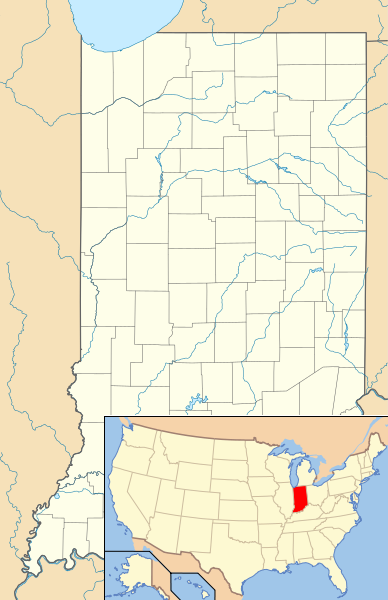
English: Composite map showing the U.S. state of Indiana and its location within the United States. |
||
| Date | |||
| Source | File:USA Indiana location map.svg and File:Map of USA IN.svg | ||
| Author | User:Alexrk2 for the Indiana map and User:Huebi for the Indiana locator within the United States. Composite by User:Finetooth | ||
| Permission (Reusing this file) |
I, the copyright holder of this work, hereby publish it under the following licenses:
This file is licensed under the Creative Commons Attribution 3.0 Unported license.
You may select the license of your choice. |
||
| Other versions |
This file was derived from: Derivative works of this file: Location of Lake James (Indiana).png |

.png)
File history
Click on a date/time to view the file as it appeared at that time.
| Date/Time | Thumbnail | Dimensions | User | Comment | |
|---|---|---|---|---|---|
| current | 18:39, 23 June 2014 | | 388 × 600 (77 KB) | Finetooth (talk | contribs) | {{Information |Description=Composite map showing the U.S. state of Indiana and its location within the U.S. |Source=File:USA Indiana location map.svg and File:Map of USA IN.svg |Date=2014-06-23 |Author=User:User:Alexrk2 for the Indiana lo... |
| 18:23, 23 June 2014 |  | 388 × 600 (77 KB) | Finetooth (talk | contribs) | {{Information |Description=Composite map showing the U.S. state of Indiana and its location within the U.S. |Source=USA Indiana location map.svg |Date= |Author= |Permission= |other_versions= }} |
You cannot overwrite this file.
File usage on Commons
There are no pages that use this file.