File:Image from page 296 of "Mount Everest, the reconnaissance, 1921" (1922).jpg
Original file (2,112 × 1,354 pixels, file size: 491 KB, MIME type: image/jpeg)
Captions
Captions
Summary[edit]
.jpg&action=edit§ion=1)
| Description |
English: Identifier: mounteverestreco01howa
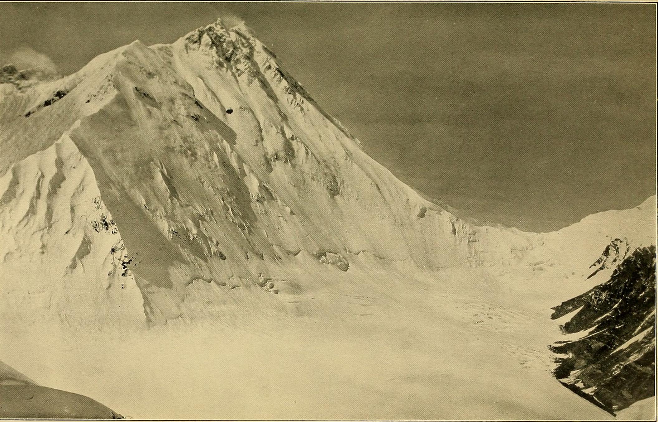
Title: Mount Everest, the reconnaissance, 1921 Year: 1922 (1920s) Authors: Howard-Bury, Charles, 1881- Leigh-Mallory, George Herbert, 1886-1924 Subjects: Mount Everest Expedition, 1921 Publisher: New York Longmans, Green and co. London, E. Arnold & co. Contributing Library: The Library of Congress Digitizing Sponsor: The Library of Congress View Book Page: Book Viewer About This Book: Catalog Entry View All Images: All Images From Book Click here to view book online to see this illustration in context in a browseable online version of this book. Text Appearing Before Image: l revelations, we had never reafly seen. Weconjectured its height should be 500 feet or Httle more;and it was probably steep. It had been impossible to foundan opinion as to whether the col were accessible. Never-theless, I held an opinion, however flimsy the foundations.I had seen the rim of the col from both sides, and knew thatabove it on either hand were miserrated edges. When weadded to whatever chances might be ofiered by the wholeextent of the wall, which was considerable, the possibilitiesof finding a way to the col by the slopes of Everest to theSouth or by those of Changtse to the North, I felt we hadenough in ovir favour. I was prepared, so to speak, to betmy bottom doUar that a way coifld be fomid, and was resolvedthat before we turned homewards tliis year we must getup from the East. When I thought of the 4,000 feet onthe other side, the length combined with the difficulties,the distance that would necessarfly separate us there from* It turned out to be a full 1,200 feet. Text Appearing After Image: THE EASTERN APPROACH 247 any convenient base and all the limitations in our strength,I could have no reasonable doubt that here to the East laythe best chance of success. It remained to determine by which of two possible routeswe should reach the glacier-head between Lhakpa La andChang La. Presuming that Wheeler was right we coulduse the old base at the foot of the Rongbuk Glacier whichwas only one stage, though a very long one, from Chobuk,and proceed simply enough by two rough marches and onewhich should be easier to a camp at the foot of the wall orpossibly to the col itself. On the East we could use as anadvanced base a place two easy marches from Kharta;from there I reckoned one long day and two easy ones,provided the snow were hard, to Chang La. Against thisroute was the loss of height in crossing Lhakpa La; andfor it the convenience of a good encampment on stones at20,000 feet, better than anything we might expect to findat a similar elevation on the other side. So far the pros Note About Images Please note that these images are extracted from scanned page images that may have been digitally enhanced for readability - coloration and appearance of these illustrations may not perfectly resemble the original work. |
| Date | |
| Source | https://www.flickr.com/photos/internetarchivebookimages/14745985606/ |
| Author | Internet Archive Book Images |
Licensing[edit]
.jpg&action=edit§ion=2)
This image was taken from Flickr's The Commons. The uploading organization may have various reasons for determining that no known copyright restrictions exist, such as:
More information can be found at https://flickr.com/commons/usage/. Please add additional copyright tags to this image if more specific information about copyright status can be determined. See Commons:Licensing for more information. |
| This image, originally posted to Flickr, was reviewed on 17 March 2020 by the administrator or reviewer 轻语者, who confirmed that it was available on Flickr under the stated license on that date. |
File history
Click on a date/time to view the file as it appeared at that time.
| Date/Time | Thumbnail | Dimensions | User | Comment | |
|---|---|---|---|---|---|
| current | 19:02, 17 March 2020 | | 2,112 × 1,354 (491 KB) | Elisfkc (talk | contribs) | Reverted to version as of 04:03, 12 March 2020 (UTC) |
| 18:56, 17 March 2020 |  | 1,304 × 2,047 (631 KB) | Elisfkc (talk | contribs) | File for review | |
| 04:03, 12 March 2020 |  | 2,112 × 1,354 (491 KB) | SteinsplitterBot (talk | contribs) | Bot: Image rotated by 90° | |
| 02:12, 12 March 2020 |  | 1,354 × 2,126 (496 KB) | Tibet Nation (talk | contribs) | Uploaded a work by Internet Archive Book Images from https://www.flickr.com/photos/internetarchivebookimages/14745985606/ with UploadWizard |
You cannot overwrite this file.
File usage on Commons
There are no pages that use this file.
.jpg&oldid=686455993)