File:I-66.svg

Original file (SVG file, nominally 601 × 601 pixels, file size: 15 KB)
Captions
Captions
This file is in the public domain because it comes from the Manual on Uniform Traffic Control Devices, sign number M1-1, which states specifically on page I-1 that:
|
.svg) |

|
This work includes material that may be protected as a trademark in some jurisdictions. If you want to use it, you have to ensure that you have the legal right to do so and that you do not infringe any trademark rights. See our general disclaimer. This tag does not indicate the copyright status of the attached work. A normal copyright tag is still required. See Commons:Licensing. |
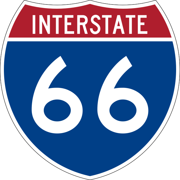
600 mm by 600 mm (24 in by 24 in) Interstate shield, made to the specifications of the 2004 edition of Standard Highway Signs (sign M1-1). Uses the Roadgeek 2005 fonts archive copy at the Wayback Machine. (United States law does not permit the copyrighting of typeface designs, and the fonts are meant to be copies of a U.S. Government-produced work anyway.) Colors are from [1] (Pantone Red 187 and Blue 294), converted to RGB by [2]. The outside border has a width of 1 (1 mm) and a color of black so it shows up; in reality, signs have no outside border.
File history
Click on a date/time to view the file as it appeared at that time.
| Date/Time | Thumbnail | Dimensions | User | Comment | |
|---|---|---|---|---|---|
| current | 09:13, 17 May 2007 | | 601 × 601 (15 KB) | Ltljltlj (talk | contribs) | |
| 02:12, 5 April 2006 |  | 601 × 601 (13 KB) | SPUI~commonswiki (talk | contribs) | {{spuiother}} 600 mm by 600 mm (24 in by 24 in) Interstate shield, made to the specifications of the [http://mutcd.fhwa.dot.gov/SHSm/Guide.pdf 2004 edition of Standard Highway Signs] (sign M1-1). Uses the [http://www.triskele.com/fonts/index.html Roadgeek |
You cannot overwrite this file.
File usage on Commons
The following 5 pages use this file:
File usage on other wikis
The following other wikis use this file:
- Usage on bs.wikipedia.org
- Usage on de.wikipedia.org
- Usage on de.wikivoyage.org
- Usage on en.wikipedia.org
- Frederick County, Virginia
- Potomac River
- List of Interstate Highways
- Appalachian Trail
- Interstate 81
- Warren County, Virginia
- Prince William County, Virginia
- Fauquier County, Virginia
- Fairfax County, Virginia
- Interstate 66
- Washington–Baltimore combined statistical area
- Virginia State Route 267
- U.S. Route 50
- Blue Line (Washington Metro)
- Orange Line (Washington Metro)
- Arlington Memorial Bridge
- U.S. Route 17
- K Street (Washington, D.C.)
- Woodrow Wilson Bridge
- U.S. Route 15
- U.S. Route 29
- U.S. Route 522
- U.S. Route 340
- Capital Beltway
- Virginia State Route 620 (Fairfax and Loudoun Counties)
- Interstate 395 (Virginia–District of Columbia)
- Henry G. Shirley Memorial Highway
- Skyline Drive
- Rock Creek and Potomac Parkway
- George Washington Memorial Parkway
- Theodore Roosevelt Bridge
- List of auxiliary Interstate Highways
- Virginia State Route 110
- Key Bridge (Washington, D.C.)
- Virginia State Route 7
- Virginia State Route 236
- Fairfax County Parkway
- Virginia State Route 120
- U.S. Route 48
- Virginia State Route 123
- State highways in Virginia
- Washington metropolitan area
- List of crossings of the Potomac River
- Virginia State Route 28
- Silver Line (Washington Metro)
View more global usage of this file.