File:I-135 exits 11.JPG
Jump to navigation
Jump to search
Size of this preview: 800 × 598 pixels. Other resolutions: 320 × 239 pixels | 640 × 478 pixels | 1,024 × 765 pixels | 1,280 × 956 pixels | 2,592 × 1,936 pixels.
Original file (2,592 × 1,936 pixels, file size: 1.87 MB, MIME type: image/jpeg)
Captions
Captions
Add a one-line explanation of what this file represents
Summary[edit]
| Description |
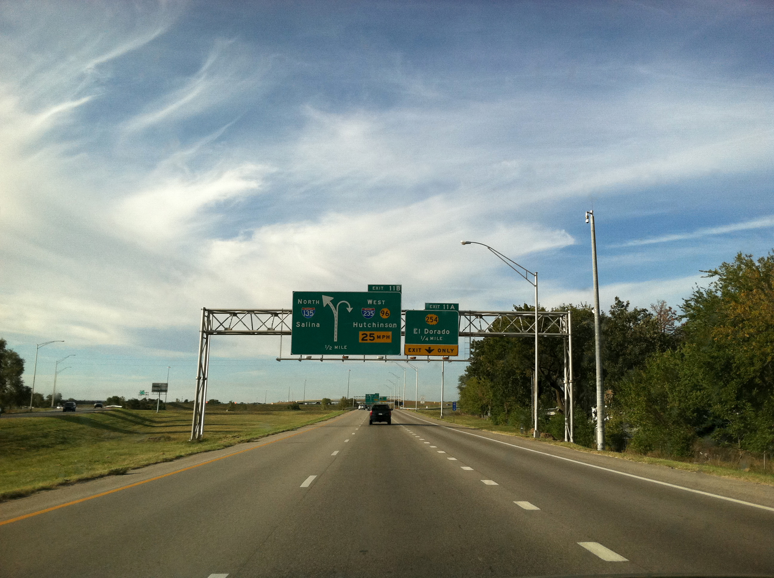
English: Exit signs for exits 11A and 11B on Interstate 135 in Kansas. |
| Date | |
| Source | Own work |
| Author | Ks0stm |
| Camera location | | View this and other nearby images on: OpenStreetMap |
|---|
Licensing[edit]
I, the copyright holder of this work, hereby publish it under the following licenses:
This file is licensed under the Creative Commons Attribution-Share Alike 3.0 Unported license.
- You are free:
- to share – to copy, distribute and transmit the work
- to remix – to adapt the work
- Under the following conditions:
- attribution – You must give appropriate credit, provide a link to the license, and indicate if changes were made. You may do so in any reasonable manner, but not in any way that suggests the licensor endorses you or your use.
- share alike – If you remix, transform, or build upon the material, you must distribute your contributions under the same or compatible license as the original.

|
Permission is granted to copy, distribute and/or modify this document under the terms of the GNU Free Documentation License, Version 1.2 or any later version published by the Free Software Foundation; with no Invariant Sections, no Front-Cover Texts, and no Back-Cover Texts. A copy of the license is included in the section entitled GNU Free Documentation License. |
You may select the license of your choice.
File history
Click on a date/time to view the file as it appeared at that time.
| Date/Time | Thumbnail | Dimensions | User | Comment | |
|---|---|---|---|---|---|
| current | 16:35, 2 November 2011 | | 2,592 × 1,936 (1.87 MB) | Orionist (talk | contribs) | Removed rain drops and slightly modified levels |
| 22:49, 4 October 2011 |  | 2,592 × 1,936 (1.84 MB) | Ks0stm (talk | contribs) | {{Information |Description ={{en|1=Exit signs for exits 11A and 11B on Interstate 135 in Kansas.}} |Source ={{own}} |Author =Ks0stm |Date =2011-09-23 |Permission = |other_versions = }} [[Category:Interstat |
You cannot overwrite this file.
File usage on Commons
The following page uses this file:
File usage on other wikis
The following other wikis use this file:
Metadata
Categories:
- Diagrammatic guide signs in the United States
- Interchange Advance Guide signs in Kansas
- Interstate 135
- Interstate 135 shields
- Interstate 235 shields
- Road sign gantries in Kansas
- Wichita, Kansas
- Number 96 on highway signs
- Number 254 on highway signs
- Exits numbered 11
- September 2011 in Kansas
- September 2011 in road transport in the United States
- Road signs in the United States photographed in 2011
- Street lights in Kansas