File:Hudson Mill Road (Bridleway) above Colden Clough - geograph.org.uk - 39578.jpg
Jump to navigation
Jump to search

Size of this preview: 800 × 600 pixels. Other resolutions: 320 × 240 pixels | 640 × 480 pixels | 1,024 × 768 pixels | 1,280 × 960 pixels.
Original file (1,280 × 960 pixels, file size: 781 KB, MIME type: image/jpeg)
Captions
Captions
Add a one-line explanation of what this file represents
Summary[edit]
_above_Colden_Clough_-_geograph.org.uk_-_39578.jpg&action=edit§ion=1)
| Description |
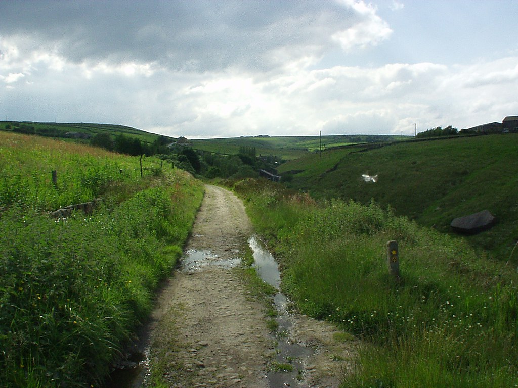
English: Hudson Mill Road (Bridleway) above Colden Clough. View west along the bridleway to Jack Bridge, running along the top of Colden Clough. The Pennine Way and Calderdale Way descend the steep valley side to cross Colden Water via the ancient stone slab bridge at Hebble Hole, to the right of this shot |
| Date | |
| Source | From geograph.org.uk |
| Author | Phil Champion |
| Attribution (required by the license) | Phil Champion / Hudson Mill Road (Bridleway) above Colden Clough / |
| Camera location | | View this and other nearby images on: OpenStreetMap |
|---|
_above_Colden_Clough_-_geograph.org.uk_-_39578.jpg¶ms=053.749700_N_-002.049000_E_globe:Earth_type:camera_source:geograph-osgb36(SD968281)_heading:270.00&language=en)
| Object location | | View this and other nearby images on: OpenStreetMap |
|---|
_above_Colden_Clough_-_geograph.org.uk_-_39578.jpg¶ms=053.749700_N_-002.049000_E_globe:Earth_class:object_type:object_source:geograph-osgb36(SD968281)_heading:270.00&language=en)
Licensing[edit]
_above_Colden_Clough_-_geograph.org.uk_-_39578.jpg&action=edit§ion=2)

|
This image was taken from the Geograph project collection. See this photograph's page on the Geograph website for the photographer's contact details. The copyright on this image is owned by Phil Champion and is licensed for reuse under the Creative Commons Attribution-ShareAlike 2.0 license.
|
This file is licensed under the Creative Commons Attribution-Share Alike 2.0 Generic license.
Attribution: Phil Champion
- You are free:
- to share – to copy, distribute and transmit the work
- to remix – to adapt the work
- Under the following conditions:
- attribution – You must give appropriate credit, provide a link to the license, and indicate if changes were made. You may do so in any reasonable manner, but not in any way that suggests the licensor endorses you or your use.
- share alike – If you remix, transform, or build upon the material, you must distribute your contributions under the same or compatible license as the original.
File history
Click on a date/time to view the file as it appeared at that time.
| Date/Time | Thumbnail | Dimensions | User | Comment | |
|---|---|---|---|---|---|
| current | 19:57, 10 February 2019 | | 1,280 × 960 (781 KB) | Geograph Update Bot (talk | contribs) | Higher-resolution version from Geograph. |
| 14:33, 30 January 2010 |  | 640 × 480 (87 KB) | GeographBot (talk | contribs) | == {{int:filedesc}} == {{Information |description={{en|1=Hudson Mill Road (Bridleway) above Colden Clough. View west along the bridleway to Jack Bridge, running along the top of Colden Clough. The Pennine Way and Calderdale Way descend the steep valley si |
You cannot overwrite this file.
File usage on Commons
There are no pages that use this file.
_above_Colden_Clough_-_geograph.org.uk_-_39578.jpg&oldid=716052174)