File:Huancavelica, calle comercial de una ciudad minera (mercurio) - panoramio.jpg
Jump to navigation
Jump to search

Size of this preview: 800 × 600 pixels. Other resolutions: 320 × 240 pixels | 640 × 480 pixels | 1,024 × 768 pixels | 1,280 × 960 pixels | 2,560 × 1,920 pixels | 2,816 × 2,112 pixels.
Original file (2,816 × 2,112 pixels, file size: 1.15 MB, MIME type: image/jpeg)
Captions
Captions
Add a one-line explanation of what this file represents
Summary[edit]
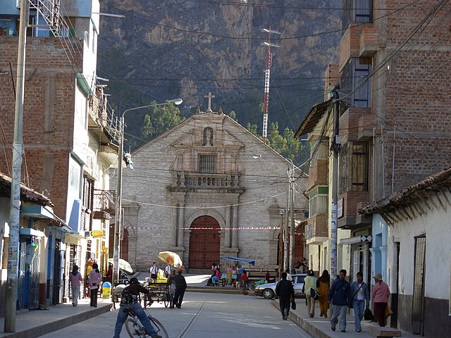
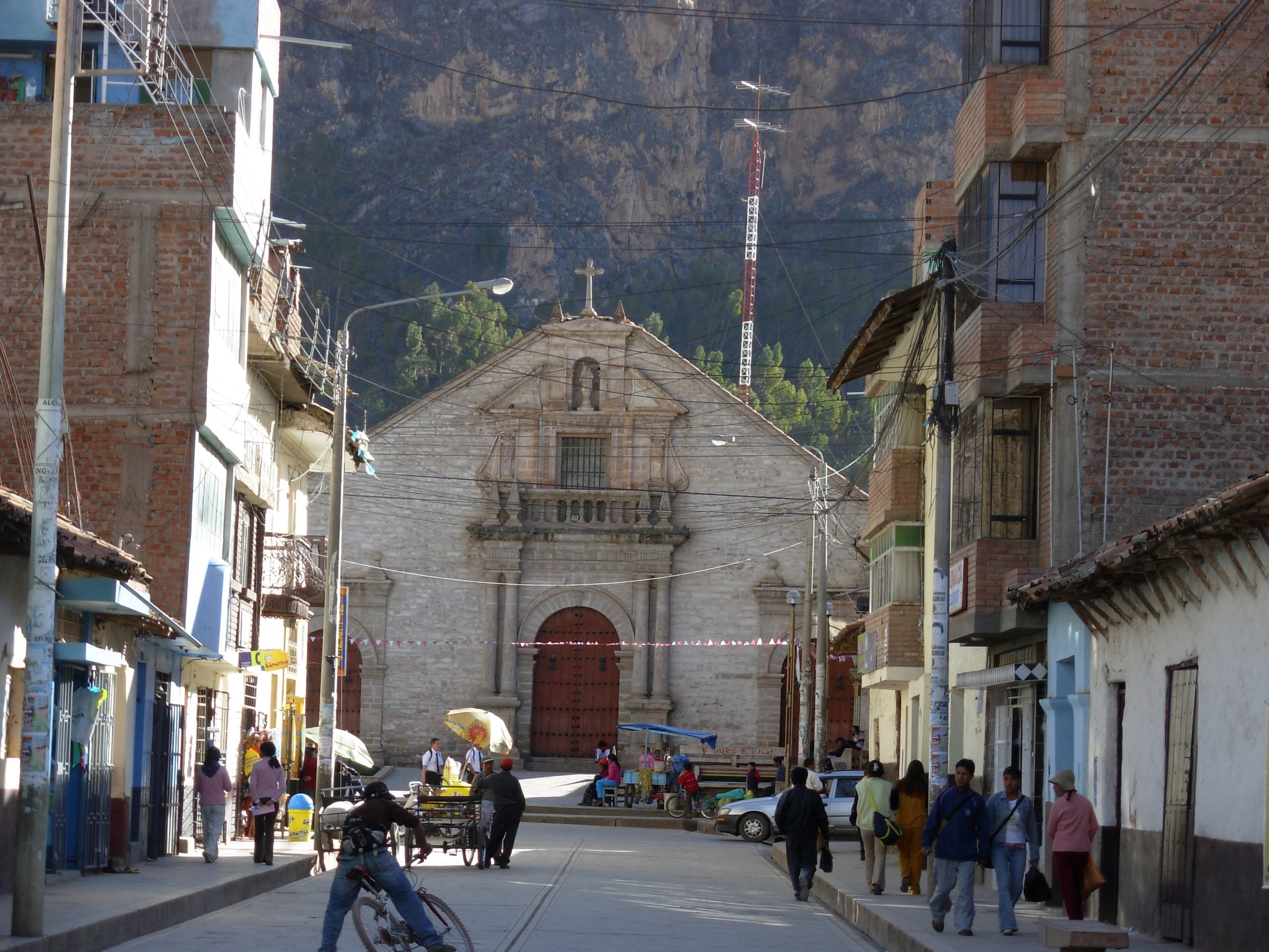
| Description | Huancavelica, calle comercial de una ciudad minera (mercurio) | ||
| Date | Taken on 12 August 2008 | ||
| Source | https://web.archive.org/web/20161117010630/http://www.panoramio.com/photo/13429330 | ||
| Author | Daniel chavez castro | ||
| Permission (Reusing this file) |
This file is licensed under the Creative Commons Attribution 3.0 Unported license. Attribution: Daniel chavez castro
|
| Camera location | | View this and other nearby images on: OpenStreetMap |
|---|

_-_panoramio.jpg&action=edit§ion=1)
_-_panoramio.jpg¶ms=-12.787539_N_-074.974909_E_globe:Earth_type:camera_source:Panoramio_&language=en)
_-_panoramio.jpg&action=edit&withJS=MediaWiki:Catcheck.js)
File history
Click on a date/time to view the file as it appeared at that time.
| Date/Time | Thumbnail | Dimensions | User | Comment | |
|---|---|---|---|---|---|
| current | 06:30, 20 June 2016 | | 2,816 × 2,112 (1.15 MB) | Panoramio upload bot (talk | contribs) | {{Information |description=Huancavelica, calle comercial de una ciudad minera (mercurio) |date={{Taken on|2008-08-12}} |source=http://www.panoramio.com/photo/13429330 |author=[http://www.panoramio.com/user/223276?with_photo_id=13429330 Daniel chavez ca... |
You cannot overwrite this file.
File usage on Commons
There are no pages that use this file.
File usage on other wikis
The following other wikis use this file:
- Usage on de.wikipedia.org
- Usage on es.wikipedia.org
- Usage on mt.wikipedia.org
- Usage on www.wikidata.org
_-_panoramio.jpg&oldid=810836462)