File:Household No. 1 Site, northern portion.jpg
Jump to navigation
Jump to search
Size of this preview: 800 × 600 pixels. Other resolutions: 320 × 240 pixels | 640 × 480 pixels | 1,024 × 768 pixels | 1,280 × 960 pixels | 2,560 × 1,920 pixels | 2,816 × 2,112 pixels.
Original file (2,816 × 2,112 pixels, file size: 2.87 MB, MIME type: image/jpeg)
Captions
Captions
Add a one-line explanation of what this file represents
| Camera location | | View this and other nearby images on: OpenStreetMap |
|---|
| Description |
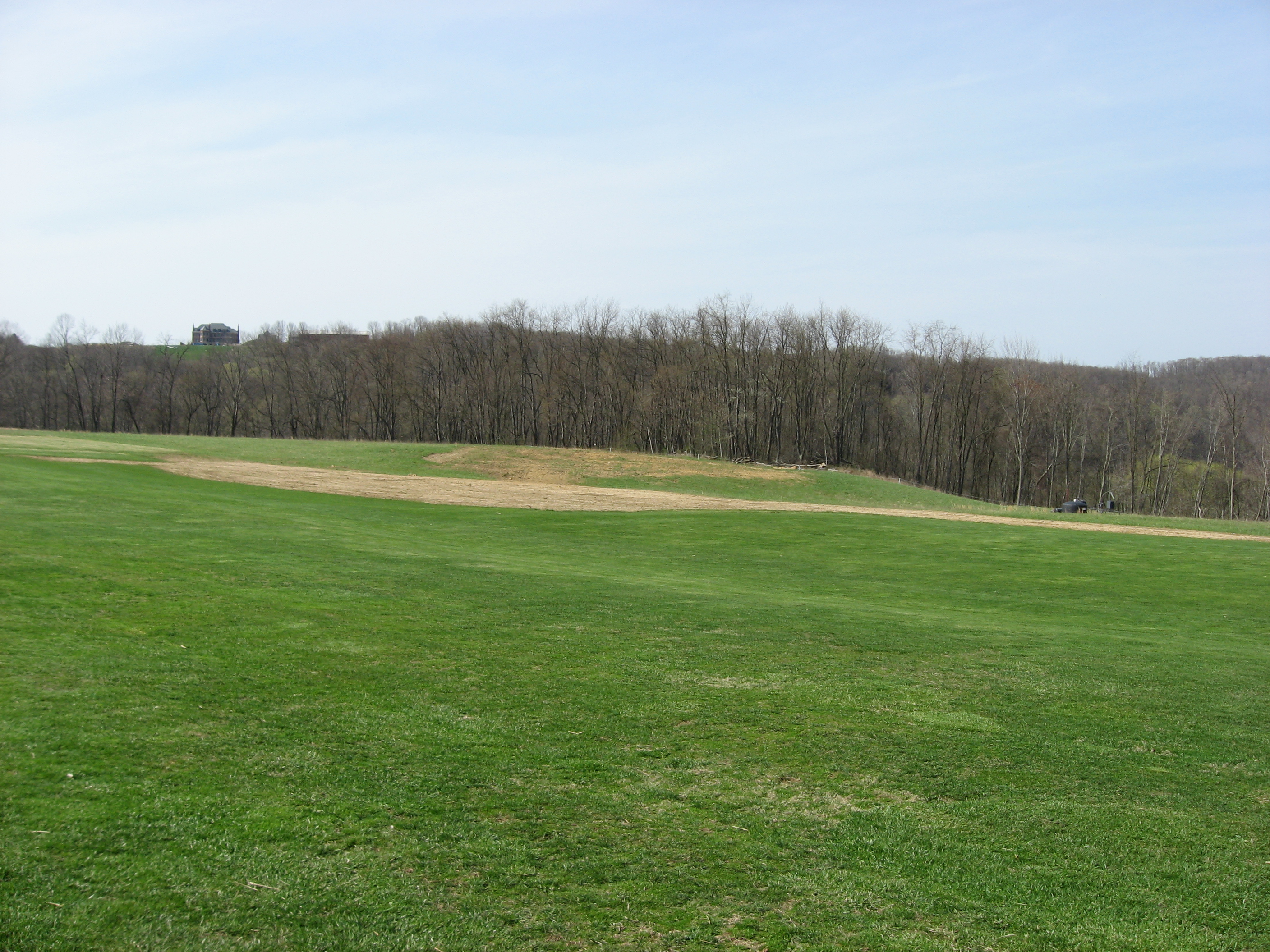
English: Fields on the northern side of the Household No. 1 Site, located at the end of Timms Lane in Rostraver Township, Westmoreland County, Pennsylvania, United States. Now occupied by a radio-controlled airport, the Household No. 1 Site is an archaeological site that was once a village of the Monongahela culture of Native Americans. It is listed on the National Register of Historic Places. |
||
| Date | Taken on 15 April 2011 | ||
| Source | Own work | ||
| Author | Nyttend | ||
| Permission (Reusing this file) |
|
File history
Click on a date/time to view the file as it appeared at that time.
| Date/Time | Thumbnail | Dimensions | User | Comment | |
|---|---|---|---|---|---|
| current | 23:09, 19 April 2011 | | 2,816 × 2,112 (2.87 MB) | Nyttend (talk | contribs) | {{Location|40|10|27.7|N|79|46|44.4|W}} {{Information |Description={{en|Fields on the northern side of the {{w|Household No. 1 Site}}, located at the end of Timms Lane in {{w|Rostraver Township, Westmoreland County, Pennsylvania|Rostraver Township}}, {{w|W |
You cannot overwrite this file.
File usage on Commons
There are no pages that use this file.