File:Hosepipes and polytunnels by the canal north of Hopwas - geograph.org.uk - 963967.jpg
Jump to navigation
Jump to search
No higher resolution available.
Hosepipes_and_polytunnels_by_the_canal_north_of_Hopwas_-_geograph.org.uk_-_963967.jpg (640 × 425 pixels, file size: 88 KB, MIME type: image/jpeg)
Captions
Captions
Add a one-line explanation of what this file represents
Summary[edit]
| Description |
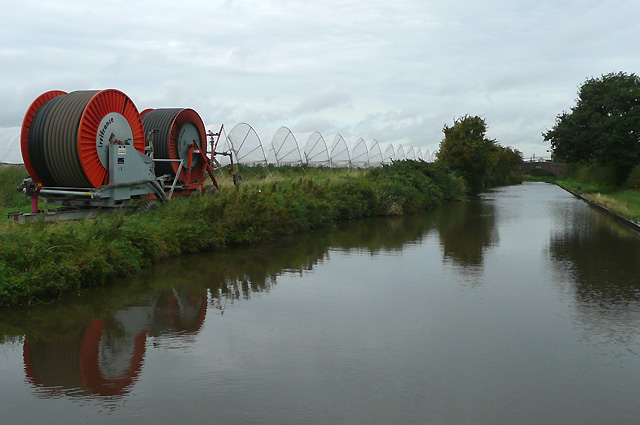
English: Hosepipes and polytunnels by the canal north of Hopwas The Coventry Canal was started in 1768, and reached Atherstone by 1771, but lack of money meant that although it was planned to end at Fradley Junction, it had still only reached Fazeley by 1790. In the meantime, the Birmingham and Fazeley Canal had been built and used the Coventry Canal's original planned line to Whittington Brook a kilometre on from this image. Another company then continued northwards to Fradley Junction. This final section was bought back by the Coventry Company later. – It explains how a long section of the canal including that pictured here is still not the Coventry canal. Five and a half miles of canal running through Hopwas remains as part of the Birmingham and Fazeley Canal, which has un-numbered bridges. Coventry Canal Bridge No 77 at Fazeley Junction is five and a half miles from bridge No 78 at Whittington Brook. – There were still some strawberries growing under the tunnels here on land by Hademore Farm. |
||
| Date | |||
| Source | From geograph.org.uk | ||
| Author | Roger Kidd | ||
| Permission (Reusing this file) |
This file is licensed under the Creative Commons Attribution-Share Alike 2.0 Generic license. Attribution: Roger Kidd
|
||
| Attribution (required by the license) | Roger Kidd / Hosepipes and polytunnels by the canal north of Hopwas / | ||

| Camera location | | View this and other nearby images on: OpenStreetMap |
|---|
_heading:292.00&language=en)
| Object location | | View this and other nearby images on: OpenStreetMap |
|---|
_heading:292.00&language=en)
File history
Click on a date/time to view the file as it appeared at that time.
| Date/Time | Thumbnail | Dimensions | User | Comment | |
|---|---|---|---|---|---|
| current | 17:02, 22 February 2011 | | 640 × 425 (88 KB) | GeographBot (talk | contribs) | == {{int:filedesc}} == {{Information |description={{en|1=Hosepipes and polytunnels by the canal north of Hopwas The Coventry Canal was started in 1768, and reached Atherstone by 1771, but lack of money meant that although it was planned to end at Fradley |
You cannot overwrite this file.
File usage on Commons
There are no pages that use this file.