File:Hong Kong districts map (nl).png
Jump to navigation
Jump to search

Size of this preview: 800 × 591 pixels. Other resolutions: 320 × 236 pixels | 640 × 473 pixels | 1,024 × 756 pixels | 1,280 × 945 pixels | 2,560 × 1,890 pixels | 3,093 × 2,284 pixels.
Original file (3,093 × 2,284 pixels, file size: 1.34 MB, MIME type: image/png)
Captions
Captions
Add a one-line explanation of what this file represents
Summary[edit]
.png&action=edit§ion=1)
| Description |
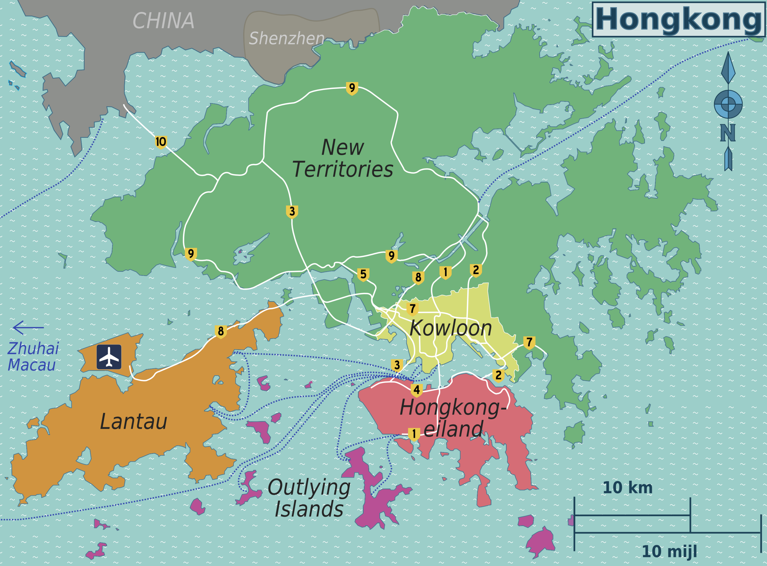
English: Hong Kong districts map for use on Wikivoyage, Dutch version |
| Date | |
| Source | Own work based on the maps of Hong Kong File:Map of Hong Kong-unpathed.svg and File:Hong Kong Strategic Route Map.svg |
| Author | Peter Fitzgerald, amendments by Globe-trotter |
| Other versions | multilingual SVG source file, English, Russian |
.png)
Licensing[edit]
.png&action=edit§ion=2)
I, the copyright holder of this work, hereby publish it under the following license:
This file is licensed under the Creative Commons Attribution 3.0 Unported license.
- You are free:
- to share – to copy, distribute and transmit the work
- to remix – to adapt the work
- Under the following conditions:
- attribution – You must give appropriate credit, provide a link to the license, and indicate if changes were made. You may do so in any reasonable manner, but not in any way that suggests the licensor endorses you or your use.
File history
Click on a date/time to view the file as it appeared at that time.
| Date/Time | Thumbnail | Dimensions | User | Comment | |
|---|---|---|---|---|---|
| current | 02:55, 20 December 2012 | | 3,093 × 2,284 (1.34 MB) | Globe-trotter (talk | contribs) | {{Information |Description ={{en|1=Hong Kong districts map for use on Wikivoyage, Dutch version}} |Source ={{own}} based on the maps of Hong Kong File:Map of Hong Kong-unpathed.svg and File:Hong Kong Strategic Route Map.svg |Author... |
You cannot overwrite this file.
File usage on Commons
There are no pages that use this file.
File usage on other wikis
The following other wikis use this file:
.png&oldid=601439428)