File:Herman Moll Map of England and Wales.jpg
Herman_Moll_Map_of_England_and_Wales.jpg (720 × 461 pixels, file size: 106 KB, MIME type: image/jpeg)
Captions
Captions
Information
[edit]| Description |
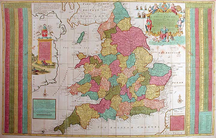
English: ⚠ A BAD LOW-QUALITY MAP THAT SHOULD NOT BE USED BY ANY PAGE OR PROJECT FOR ANY PURPOSE ⚠
|
|||||||||||||||||||||||
| Date | c. 1740 reprint of a 1710 map | |||||||||||||||||||||||
| Source | DonaldHeald.com. | |||||||||||||||||||||||
| Author |
|
|||||||||||||||||||||||
| Other versions | See categories below | |||||||||||||||||||||||

Licensing
[edit]
|
This is a faithful photographic reproduction of a two-dimensional, public domain work of art. The work of art itself is in the public domain for the following reason:
The official position taken by the Wikimedia Foundation is that "faithful reproductions of two-dimensional public domain works of art are public domain".
This photographic reproduction is therefore also considered to be in the public domain in the United States. In other jurisdictions, re-use of this content may be restricted; see Reuse of PD-Art photographs for details. | ||||
| Annotations | This image is annotated: View the annotations at Commons |
File history
Click on a date/time to view the file as it appeared at that time.
| Date/Time | Thumbnail | Dimensions | User | Comment | |
|---|---|---|---|---|---|
| current | 10:21, 24 January 2006 | | 720 × 461 (106 KB) | AndreasPraefcke (talk | contribs) | Herman Moll: ''The South Part of Great Britain called England and Wales, Containing all the cities, Market Towns, Boroughs, And whatever Places have ye Elections of Members of Parliament, with ye Names of ye Rivers, Seaports, Sands, Hills, Moors, Fore |
You cannot overwrite this file.
File usage on Commons
The following page uses this file: