File:Herat.png
Jump to navigation
Jump to search
Size of this preview: 800 × 527 pixels. Other resolutions: 320 × 211 pixels | 640 × 422 pixels | 992 × 654 pixels.
Original file (992 × 654 pixels, file size: 1.32 MB, MIME type: image/png)
Captions
Captions
Add a one-line explanation of what this file represents
Summary[edit]
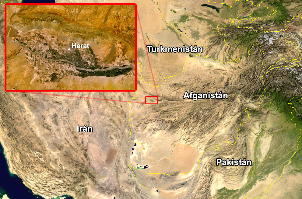
Español: Zona donde se produjo el accidente.
Edited image from two screenshots taken from NASA World Wind of Afghanistan, showing the city of Herat.
| This image is in the public domain because it is a screenshot from NASA’s globe software World Wind using a public domain layer, such as Blue Marble, MODIS, Landsat, SRTM, USGS or GLOBE.
|
 |
File history
Click on a date/time to view the file as it appeared at that time.
| Date/Time | Thumbnail | Dimensions | User | Comment | |
|---|---|---|---|---|---|
| current | 13:32, 16 August 2005 | | 992 × 654 (1.32 MB) | JMPerez~commonswiki (talk | contribs) | Edited image from two screenshots taken from NASA World Wind of Afghanistan, showing the city of Herat. {{PD-USGov-NASA}} Category:Afghanistan Category:Satellite photos |
You cannot overwrite this file.
File usage on Commons
There are no pages that use this file.
File usage on other wikis
The following other wikis use this file:
- Usage on es.wikipedia.org
- Usage on es.wikinews.org
- Usage on it.wikinews.org
- Usage on ja.wikinews.org