File:Heraldic cartouche on a Saxony map by Funck.jpg
Jump to navigation
Jump to search

Size of this preview: 765 × 600 pixels. Other resolutions: 306 × 240 pixels | 612 × 480 pixels | 980 × 768 pixels | 1,280 × 1,004 pixels | 1,551 × 1,216 pixels.
Original file (1,551 × 1,216 pixels, file size: 816 KB, MIME type: image/jpeg)
Captions
Captions
Add a one-line explanation of what this file represents
Summary
[edit]| Title |
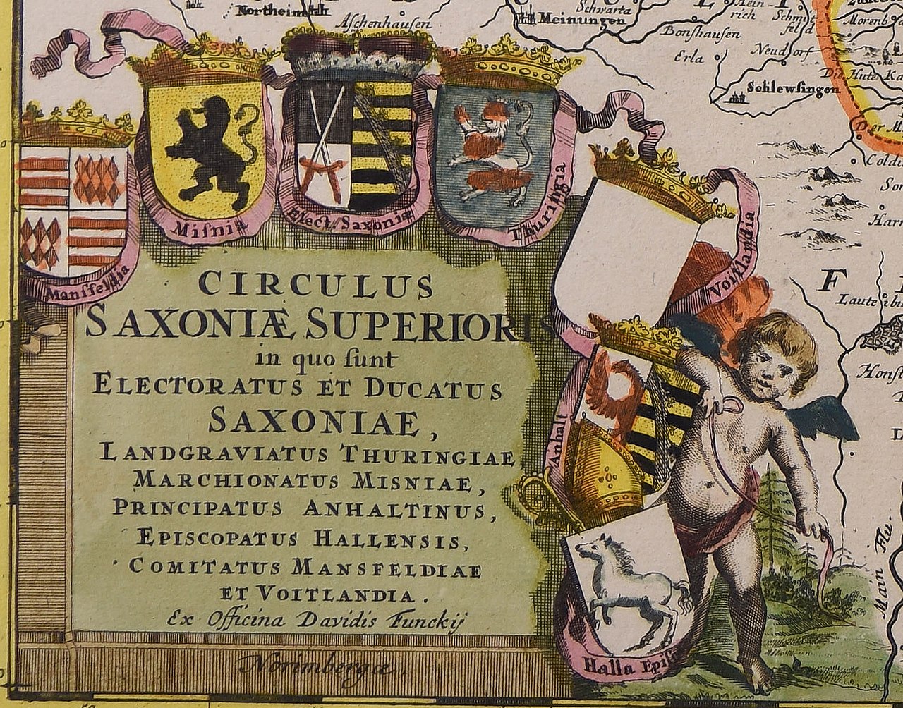
Circulus Saxoniae superioris : in quo sunt electoratus et ducatus Saxoniae, Langraviatus Thuringiae, marchionatus Misniae, principatus Anhaltinus, episcopatus Hallensis Comitatus Mansfeldiae et Voitlandia |
||||||||||||||||||||
| Date | between 1680 and 1705 | ||||||||||||||||||||
| Source |
|
||||||||||||||||||||
| Permission (Reusing this file) |
|
||||||||||||||||||||
| Georeferencing | If inappropriate please set warp_status = skip to hide. | ||||||||||||||||||||
| Bibliographic data | |||||||||||||||||||||
| Publisher |
David Funck |
||||||||||||||||||||
| Archival data | |||||||||||||||||||||
| Collection |
|
||||||||||||||||||||
| Accession number |
|
||||||||||||||||||||
| Dimensions | 1 c. geogr. 458x555 mm | ||||||||||||||||||||


File history
Click on a date/time to view the file as it appeared at that time.
| Date/Time | Thumbnail | Dimensions | User | Comment | |
|---|---|---|---|---|---|
| current | 18:57, 28 November 2022 | | 1,551 × 1,216 (816 KB) | Enyavar (talk | contribs) | File:Circulus Saxoniae superioris - CBT 5874744.jpg cropped 73 % horizontally, 74 % vertically using CropTool with precise mode. |
You cannot overwrite this file.
File usage on Commons
The following page uses this file: