File:Helmholtzkiez.png
Jump to navigation
Jump to search

Size of this preview: 490 × 600 pixels. Other resolutions: 196 × 240 pixels | 392 × 480 pixels | 1,016 × 1,244 pixels.
Original file (1,016 × 1,244 pixels, file size: 895 KB, MIME type: image/png)
Captions
Captions
Add a one-line explanation of what this file represents
Summary
[edit]
| Description |
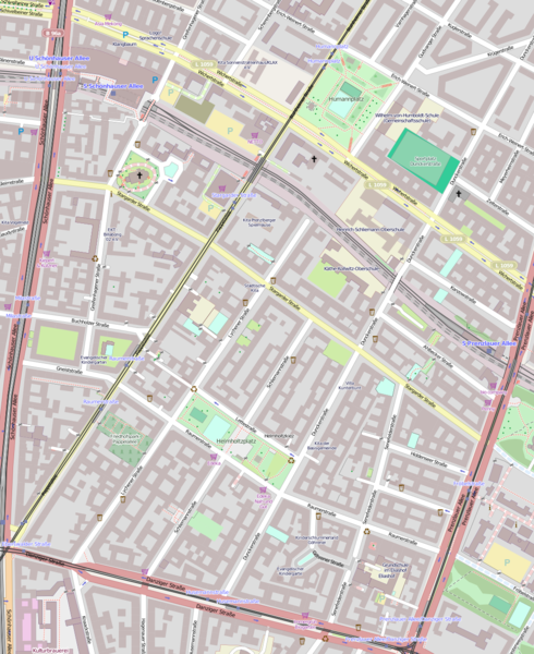
English: Helmholtzkiez
Deutsch: Helmholtzkiez |
| Date | |
| Source | www.openstreetmap.org |
| Author | Die OpenStreetMap-Mitarbeiter und der Commons-Benutzer Asperatus |
Licensing
[edit]
| Description |
This map was created from OpenStreetMap project data, collected by the community. This map may be incomplete, and may contain errors. Don't rely solely on it for navigation. |
|||||||||
| Date | (see file history) | |||||||||
| Source | openstreetmap.org | |||||||||
| Creator |
OpenStreetMap contributors |
|||||||||
| Permission (Reusing this file) |
OpenStreetMap data is available under the Open Database License (details). Map tiles are licensed under the Creative Commons Attribution-ShareAlike 2.0 license (CC-BY-SA 2.0).
This file is licensed under the Creative Commons Attribution-Share Alike 2.0 Generic license.
|
|||||||||
| Geotemporal data | ||||||||||
| Bounding box |
|
|||||||||
| Georeferencing | If inappropriate please set warp_status = skip to hide. | |||||||||
File history
Click on a date/time to view the file as it appeared at that time.
| Date/Time | Thumbnail | Dimensions | User | Comment | |
|---|---|---|---|---|---|
| current | 16:09, 23 April 2014 | | 1,016 × 1,244 (895 KB) | Shisma (talk | contribs) | updated |
| 15:45, 30 January 2011 |  | 759 × 867 (1.14 MB) | Shisma (talk | contribs) | better blur | |
| 15:43, 30 January 2011 |  | 759 × 867 (1.09 MB) | Shisma (talk | contribs) | current state of the map | |
| 13:55, 28 August 2009 |  | 1,108 × 1,261 (955 KB) | Asperatus (talk | contribs) | {{Information |Description={{en|1=Helmholtzkiez}} {{de|1=Helmholtzkiez}} |Source=www.openstreetmap.org |Author=Die OpenStreetMap-Mitarbeiter und der Commons-Benutzer Asperatus |Date=28.08.2009 |Permission= |other_versions= }} Category:maps [[Category |
You cannot overwrite this file.
File usage on Commons
There are no pages that use this file.
File usage on other wikis
The following other wikis use this file:
- Usage on de.wikipedia.org