File:Helle River - 04.jpg
Jump to navigation
Jump to search

Size of this preview: 398 × 599 pixels. Other resolutions: 159 × 240 pixels | 319 × 480 pixels | 510 × 768 pixels | 681 × 1,024 pixels | 1,362 × 2,048 pixels | 4,000 × 6,016 pixels.
Original file (4,000 × 6,016 pixels, file size: 8.28 MB, MIME type: image/jpeg)
Captions
Captions
Add a one-line explanation of what this file represents
Summary
[edit]
| Camera location | | View this and other nearby images on: OpenStreetMap |
|---|
| Description |
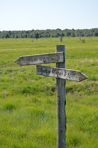
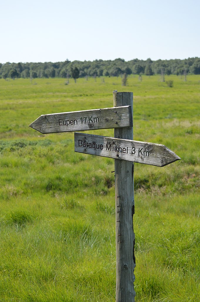
Français : Vallée de fr:Helle, sur l'fr:Ancienne frontière entre la Belgique et la Prusse / Allemagne (fr:Hautes Fagnes, fr:Sourbrodt), Belgique. Le chemin suit la rivière sur l'ensemble de son cours, de sa source à la confluence avec la rivière Vesdre à Eupen
English: Hell River valley in High Fens, between Nederlands (1815-1830) then Belgium (1830-1918), and Prussia (1815-1870) then Germany (1870-1918). The pad follows the entire valley of the Helle / Hill river (20 kilometers), from the origin to the Weser / Vesdre River in Eupen |
| Date | |
| Source | Own work |
| Author | Vberger |
Licensing
[edit]
| I, the copyright holder of this work, release this work into the public domain. This applies worldwide. In some countries this may not be legally possible; if so: I grant anyone the right to use this work for any purpose, without any conditions, unless such conditions are required by law. |
File history
Click on a date/time to view the file as it appeared at that time.
| Date/Time | Thumbnail | Dimensions | User | Comment | |
|---|---|---|---|---|---|
| current | 12:28, 18 July 2015 | | 4,000 × 6,016 (8.28 MB) | Vberger (talk | contribs) | {{Information |Description ={{en|1=fg}} |Source ={{own}} |Author =Vberger |Date = |Permission = |other_versions = }} |
You cannot overwrite this file.
File usage on Commons
There are no pages that use this file.